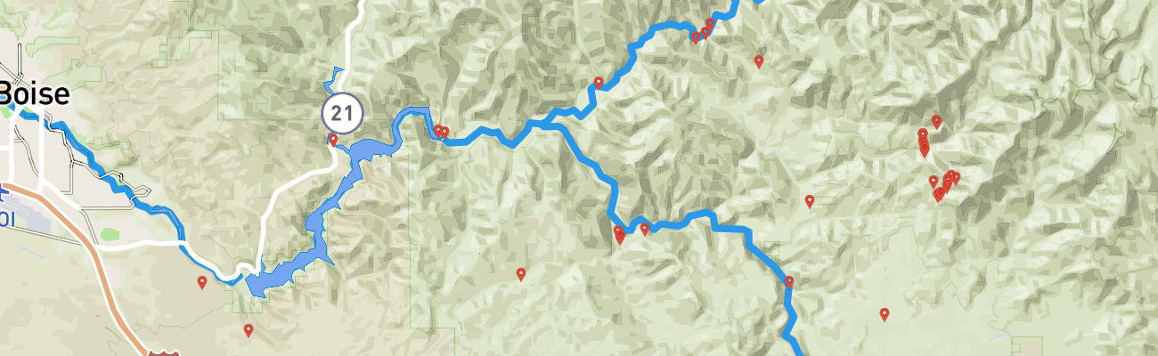
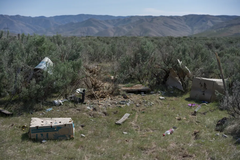
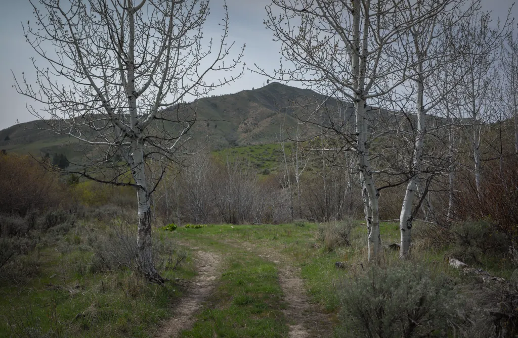
Concrete obelisks have been made redundant by old televisions, mattresses and jugs marking the route of the old Oregon Trail behind Micron. Seeing all the beer cans and hearing gunfire while riding here, in Boise’s foothills and south of Kuna, I count myself lucky to have yet suffered no lead piercings.
Passing three shot-up trash heaps makes me think of putting together a photo essay of desert redneck detritus. I have several heretofore unshared images of the subject. I bet someone’s already done it, though.
Sony α7ʀ
Sony FE 55mm ƒ1.8
ISO 100grain
1⁄800 secondshutter_speed
ƒ5.6camera
Adobe Photoshop Lightroom 5.7
Bovine
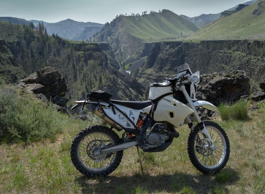
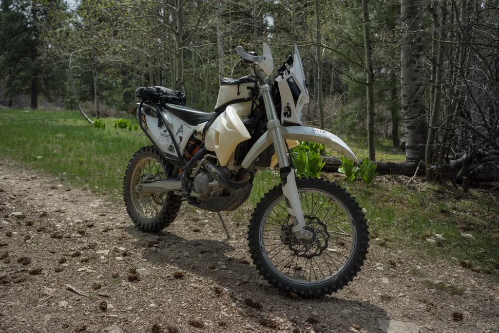
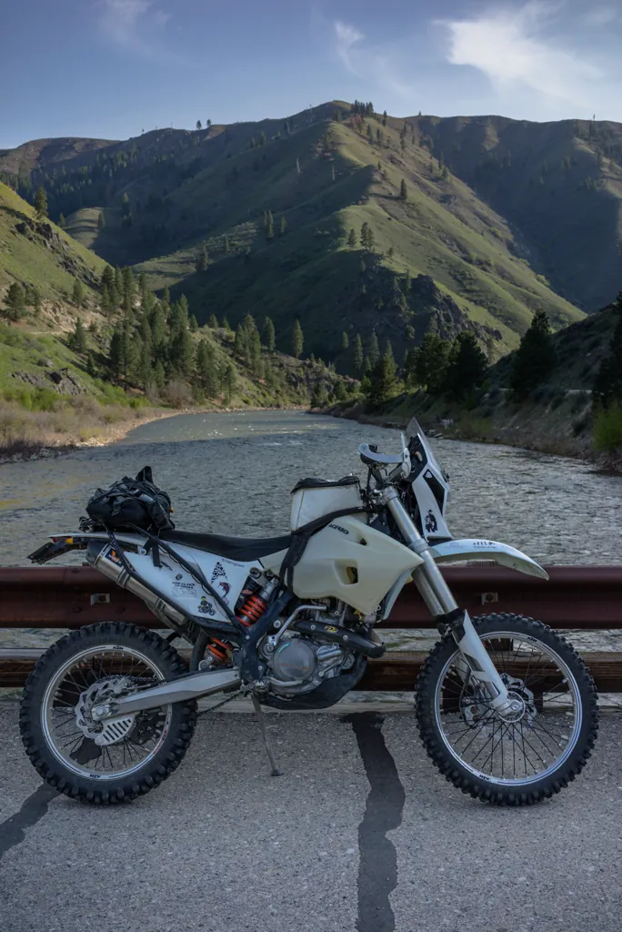
Some offer tips to mellow the KTM’s torque and twitchy throttle but I get a rush when it tries to buck me off for a slightly jostled hand. And there’s plenty of jostling on this rutted and rocky stretch of trail up to Bonneville Point.
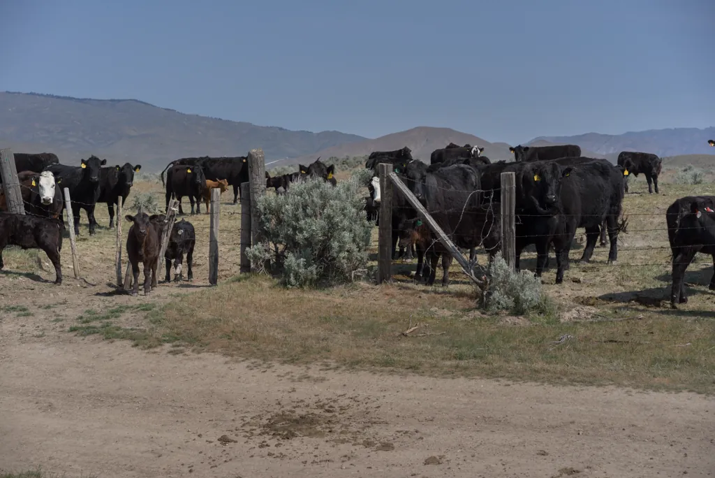
Curious but skittish cows, however, put me back on the seat. Like any seasoned rider, I’m haunted by accounts of animal impacts.
Sony α7ʀ
Sony FE 55mm ƒ1.8
ISO 100grain
1⁄400 secondshutter_speed
ƒ5.6camera
Adobe Photoshop Lightroom 5.7
Bender Creek trailhead
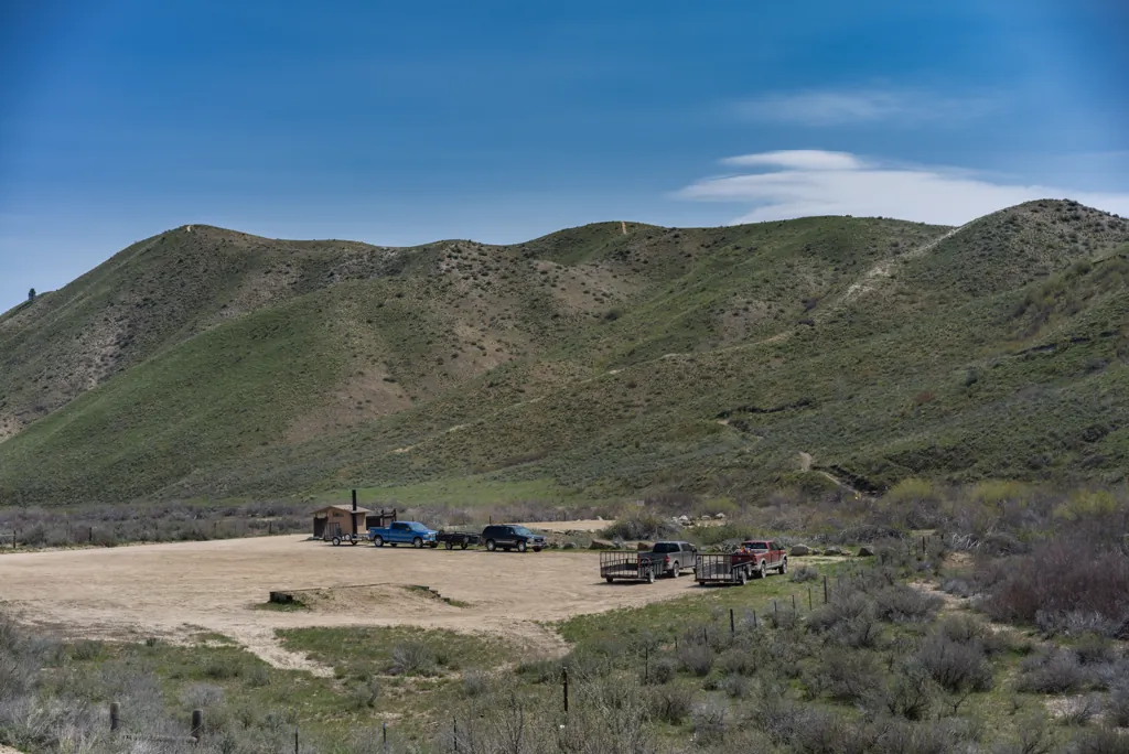
I am surprised to see trucks parked at the Bender Creek trailhead. I didn’t think Danskin was open yet or it might have been on my route today. Maybe they represent folks out doing trail work.
Sony α7ʀ
Sony FE 55mm ƒ1.8
ISO 100grain
1⁄1250 secondshutter_speed
ƒ5camera
Adobe Photoshop Lightroom 5.7
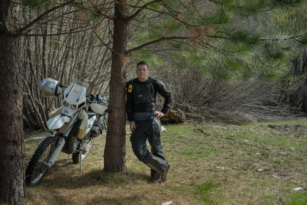
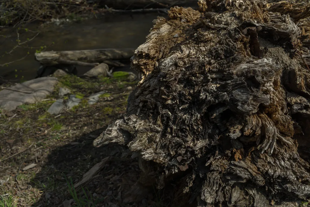
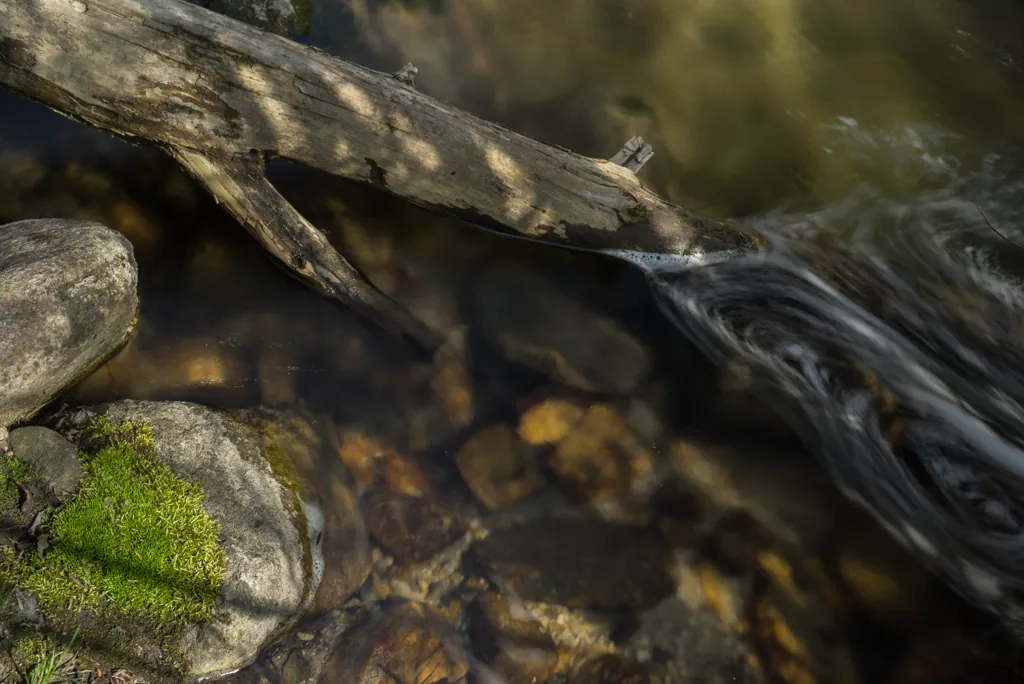
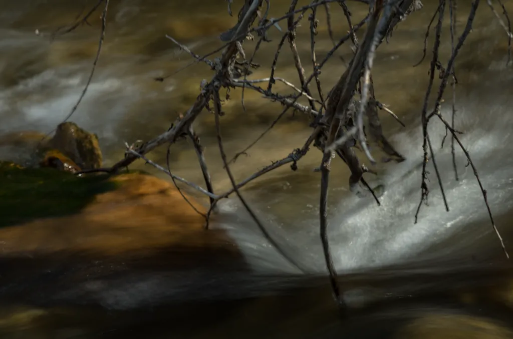
I quite enjoy outdoor adventures with family and friends but as something of an introvert, I need intermingled solo rides where I can stop and spend thirty minutes playing with long exposures, sing in my helmet and swear loudly at branches.
Sony α7ʀ
Sony FE 35mm ƒ2.8
ISO 100grain
1⁄125 secondshutter_speed
ƒ11camera
Adobe Photoshop Lightroom 5.7
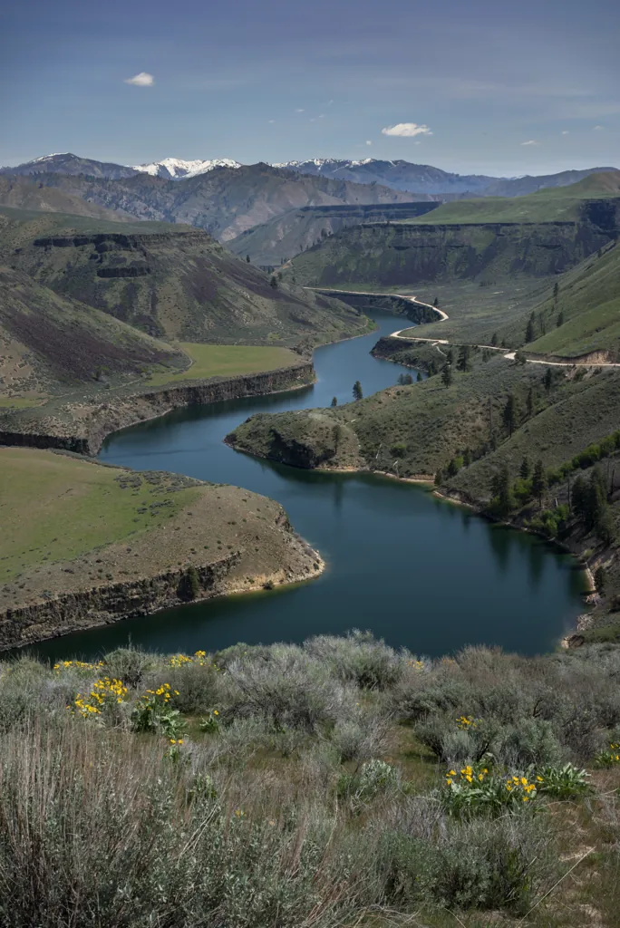
I pull off to explore the flowered point above where the Boise River pours into Arrowrock Reservoir. I think fondly of walking here with Hunter, looking at flowers and spotting a nesting bald eagle.¹
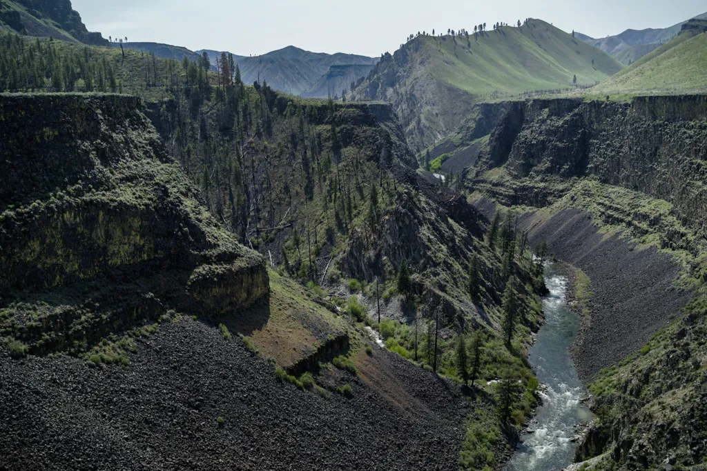
Little traffic means I can enjoy the Blacks Creek Road speedway. I don’t need a 180 MPH bike when 60 can feel insane. Before parting ways with the river, I pull off to another point from which I can see a commonly rafted stretch of water and the northern limits of the Danskin OHV area beyond.
Sony α7ʀ
Sony FE 35mm ƒ2.8
ISO 100grain
1⁄1000 secondshutter_speed
ƒ5camera
-0.7 compensationiso
Adobe Photoshop Lightroom 5.7
Bitters
Sony α7ʀ
Sony FE 35mm ƒ2.8
ISO 100grain
1⁄1250 secondshutter_speed
ƒ4camera
-1 compensationiso
Adobe Photoshop Lightroom 5.7
Sony α7ʀ
Sony FE 35mm ƒ2.8
ISO 100grain
1⁄640 secondshutter_speed
ƒ4camera
Adobe Photoshop Lightroom 5.7
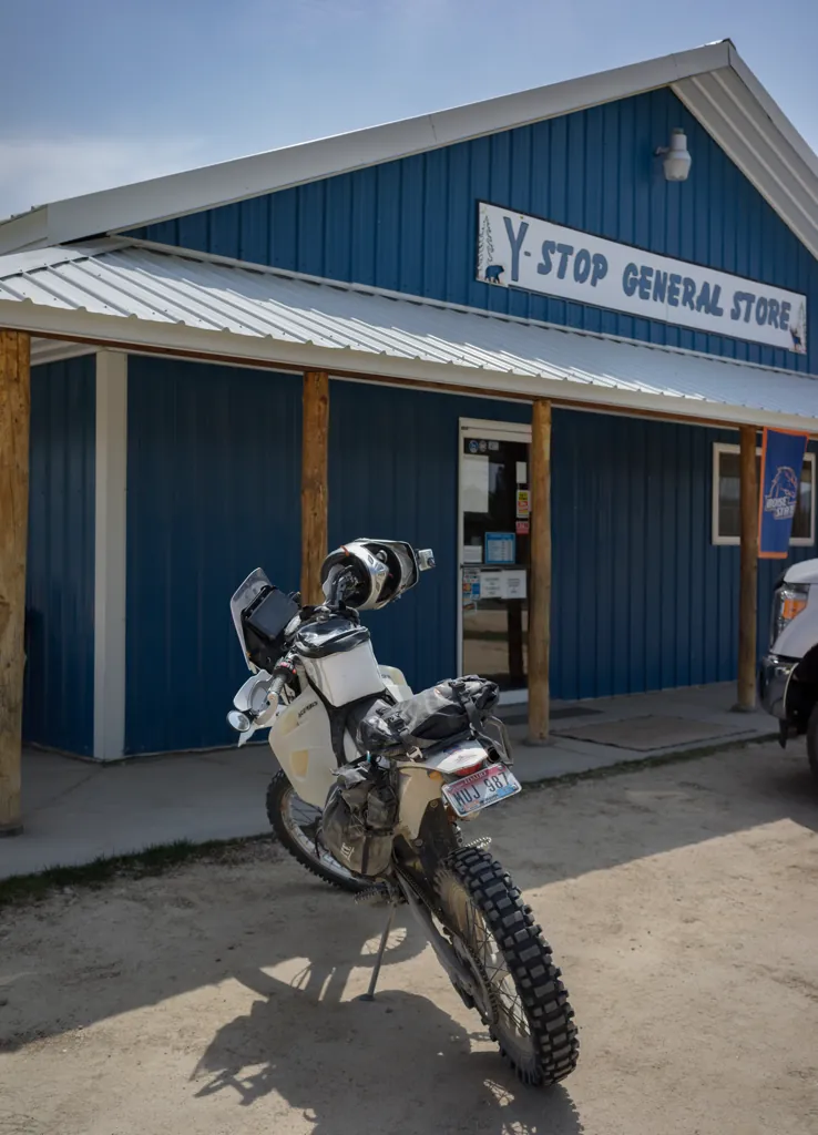
Couldn’t help myself
Although I have a nice tuna fish sandwich and plenty to drink, I find myself unable to pass by the Y-Stop without stopping. I imagine places like these need all the business they can get.
The store is empty but the smell of cooking is wafting out of the back. After a minute, the owner (the guy I always see there, anyway) walks out wiping his hands on an apron.
The kitchen isn’t always open so I verify, “you cooking today?”
“Depends on what you want,” he answers.
“Whatever you’re making is fine.” Truth is, I’m not even that hungry. But I grab a beer from the store cooler and take a seat at a table in the back, still in my riding gear. After a moment to look at the menu, I poke my head into the kitchen.
“Cheeseburger sounds great,” I say.
“‘kay.”
Sony α7ʀ
Sony FE 35mm ƒ2.8
ISO 100grain
1⁄1250 secondshutter_speed
ƒ2.8camera
Adobe Photoshop Lightroom 5.7
Riparian right
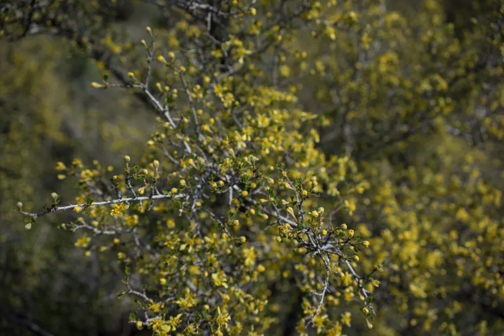
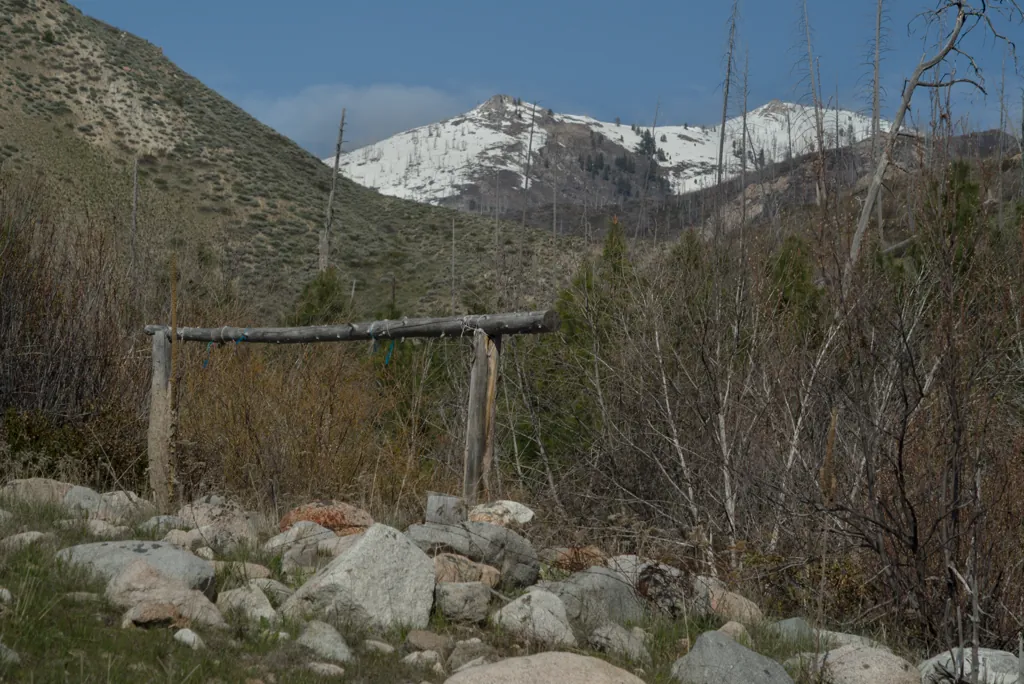
After lunch, I settle up, grab a couple cookies for the road, and head north to the Lava Mountain turn-off. Here a couple thousand feet higher than Boise it’s still early spring. Blooms and buds are peeping yellow and green but many trees are still bare.
Sony α7ʀ
Sony FE 35mm ƒ2.8
ISO 100grain
1⁄500 secondshutter_speed
ƒ5camera
Adobe Photoshop Lightroom 5.7
Lava Creek campsite
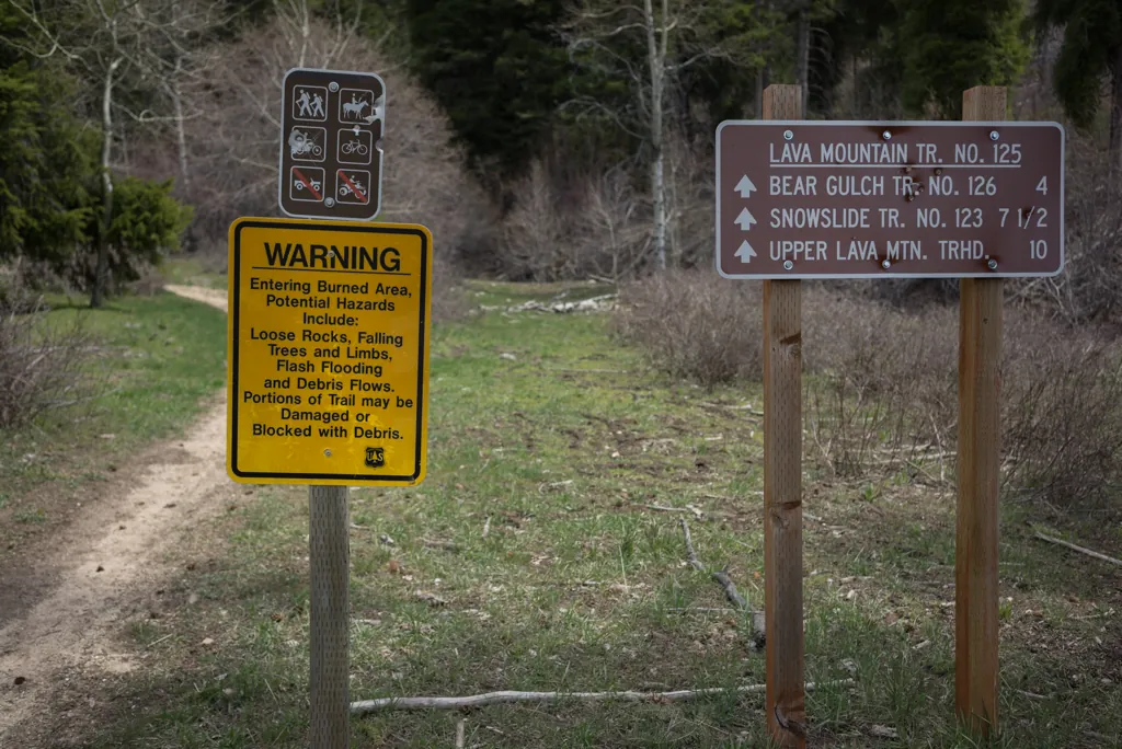
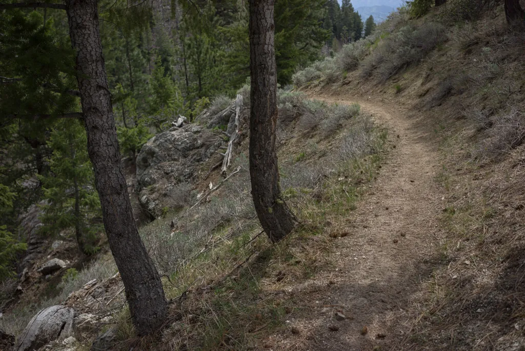
There is a campsite right at the singletrack trailhead. When last I came this way¹ it was occupied. It’s empty today so I’m curious to check it out, see if it could be worthy of a family visit.
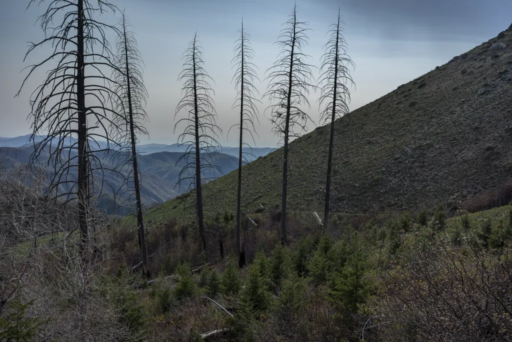
I have been curious to ride Lava Mountain since 2013’s big fires. I saw last year that much of House Mountain burned¹ and thought I’d heard the fire also approached Smith’s Prairie from this direction. I’ll feel sad if it’s equally burned.
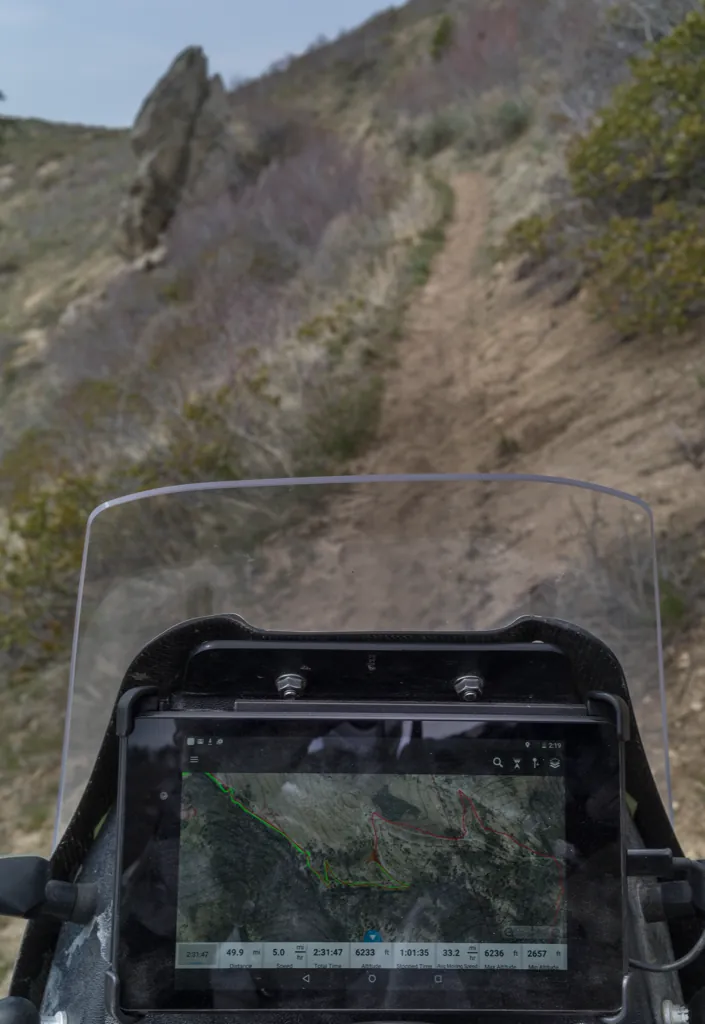
The GPS unit¹ that served me well for years has locked up several times on recent rides. After some research it seemed I’d get the best value and functionality by replacing it with a bit of software added to my existing tablet. The view it provides is great but it turns out my old USB cable is flaky, not charging the tablet. It will die soon but that’s okay. It was just a test. I don’t need it today.
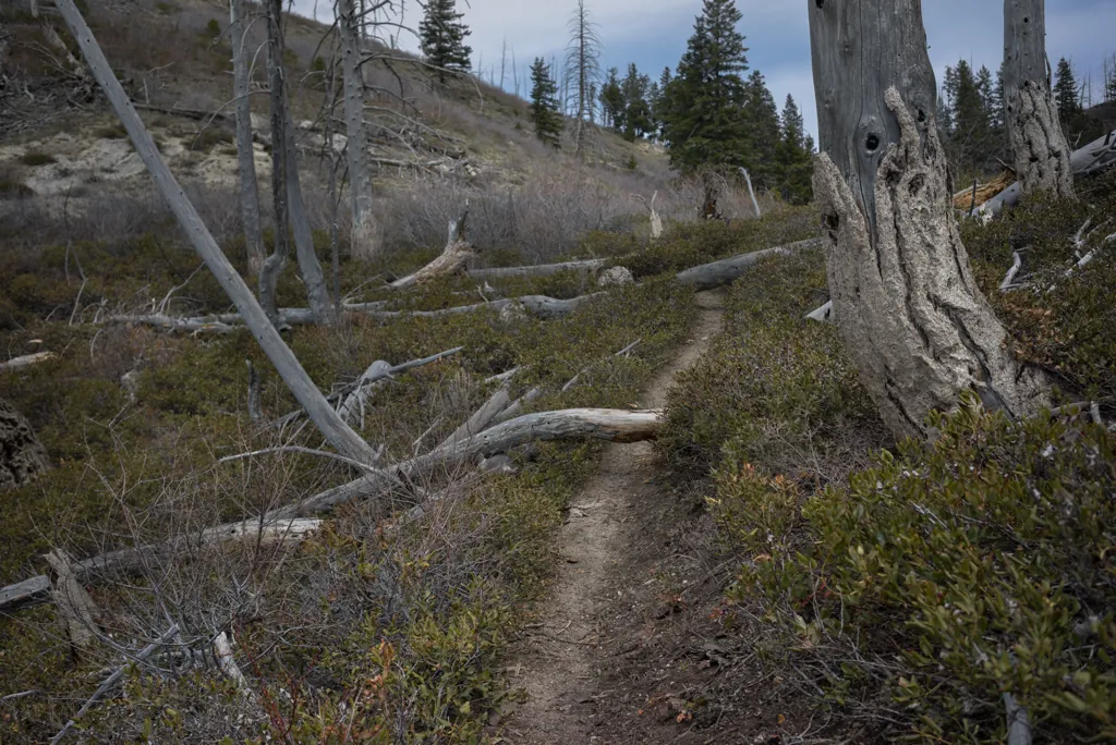
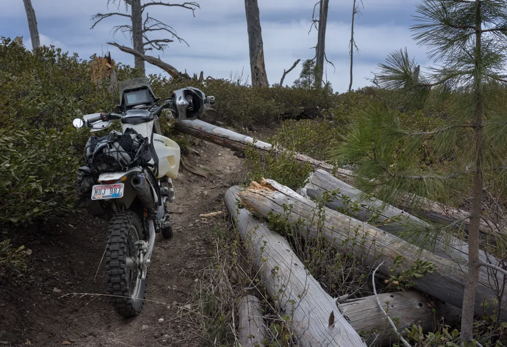
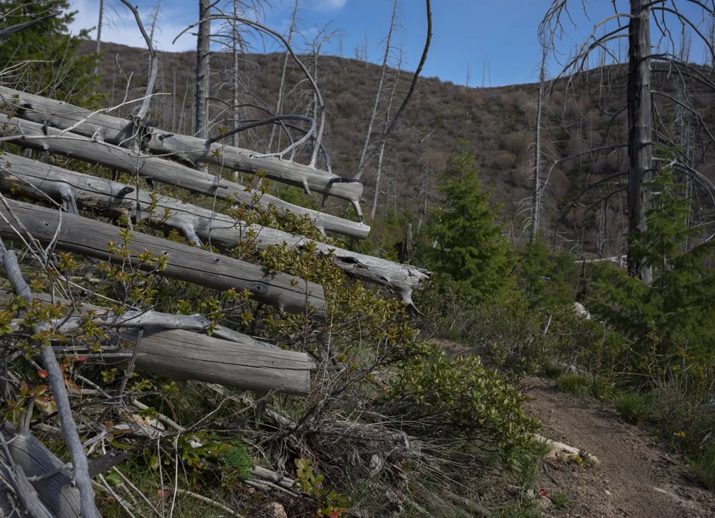
The first deadfall I encounter is easily circumnavigated. Well, sort of — the low brush is surprisingly clingy.
Sony α7ʀ
Sony FE 35mm ƒ2.8
ISO 100grain
1⁄400 secondshutter_speed
ƒ5.6camera
Adobe Photoshop Lightroom 5.7
Silky
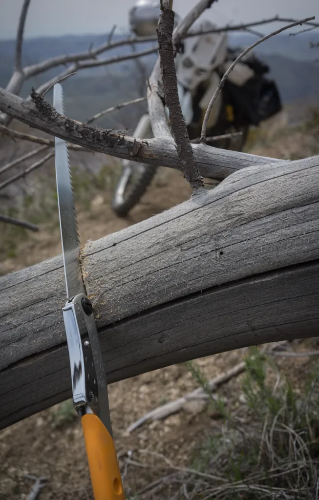
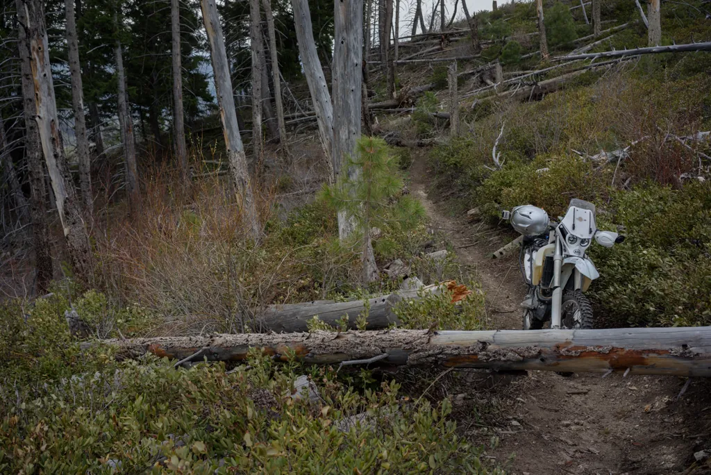
I can’t get around the next tree across the trail so I get to break out the Silky BIGBOY for the first time. It’s getting harder each year to find something new to buy for the season. New gadgets are half the fun, though, so I came up with a saw. The Sven Saw I’ve used is really nice but setup time and harder blade replacement was just enough excuse.
Sony α7ʀ
Sony FE 35mm ƒ2.8
ISO 100grain
1⁄2000 secondshutter_speed
ƒ3.5camera
-1.3 compensationiso
Adobe Photoshop Lightroom 5.7
Two in the hand
Sony α7ʀ
Sony FE 35mm ƒ2.8
ISO 100grain
1⁄320 secondshutter_speed
ƒ5.6camera
-0.7 compensationiso
Adobe Photoshop Lightroom 5.7
Fitness program
I suppose if I were a more manly man I could easily manage a wheelie thing over the next tree. But I’m out here alone and my luck with wheelie things isn’t that great. I guess I’ll cut again.
Sony α7ʀ
Sony FE 35mm ƒ2.8
ISO 100grain
1⁄400 secondshutter_speed
ƒ5.6camera
-0.7 compensationiso
Adobe Photoshop Lightroom 5.7
My wheelies aren’t that good
Sony α7ʀ
Sony FE 35mm ƒ2.8
ISO 100grain
1⁄250 secondshutter_speed
ƒ7.1camera
-0.3 compensationiso
Adobe Photoshop Lightroom 5.7
Feeling forty
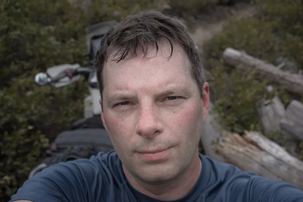
Although the BIGBOY cuts these trees like butter, I’m still left heaving for air. Darn it. Time to work more regular exercise into my life.
Sony α7ʀ
Sony FE 35mm ƒ2.8
ISO 100grain
1⁄320 secondshutter_speed
ƒ7.1camera
-1.3 compensationiso
Adobe Photoshop Lightroom 5.7
No thank you
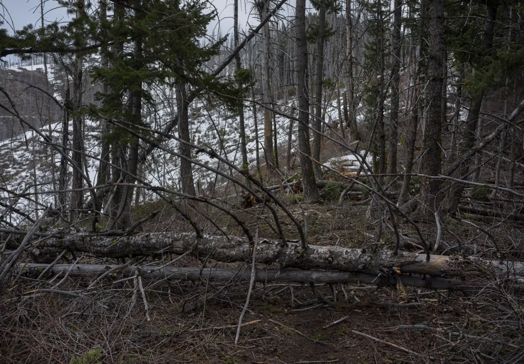
I cut my way through another tree before getting to a stretch of woods that’s a mess. I can see the final ridge above but I’m not getting there today.
Sony α7ʀ
Sony FE 35mm ƒ2.8
ISO 100grain
1⁄1600 secondshutter_speed
ƒ2.8camera
Adobe Photoshop Lightroom 5.7
Along Jackass Creek
I backtrack down the trail to Long Gulch Road. The tablet has died so now I’m free to explore any side road that catches my fancy. I can’t tell where any of them go.
Sony α7ʀ
Zuiko AUTO-T 135mm
ISO 100grain
1⁄10 secondshutter_speed
ƒ11camera
-1 compensationiso
Adobe Photoshop Lightroom 5.7
Tipton Flat Campground
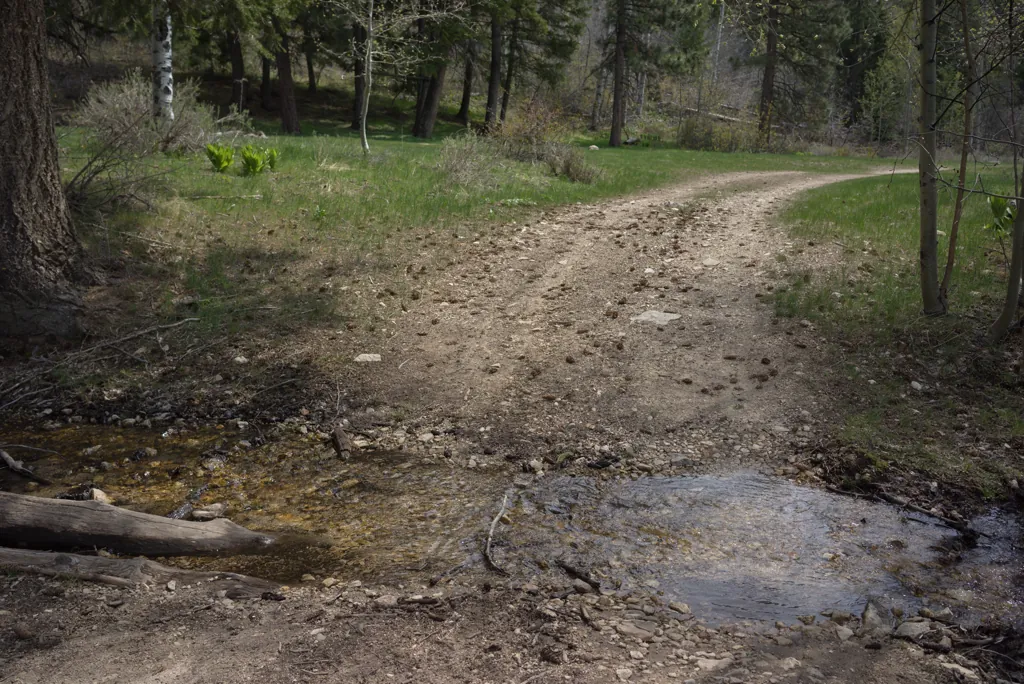
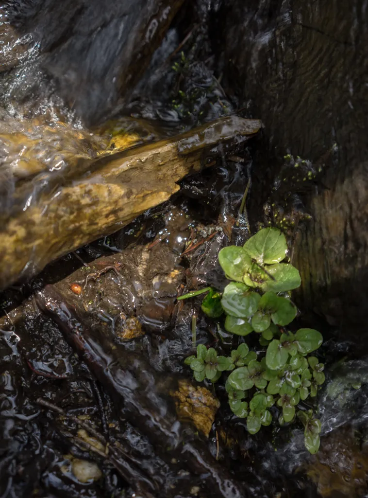
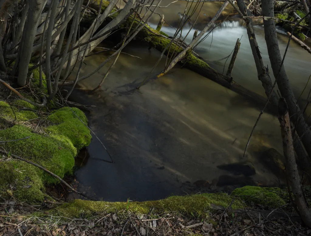
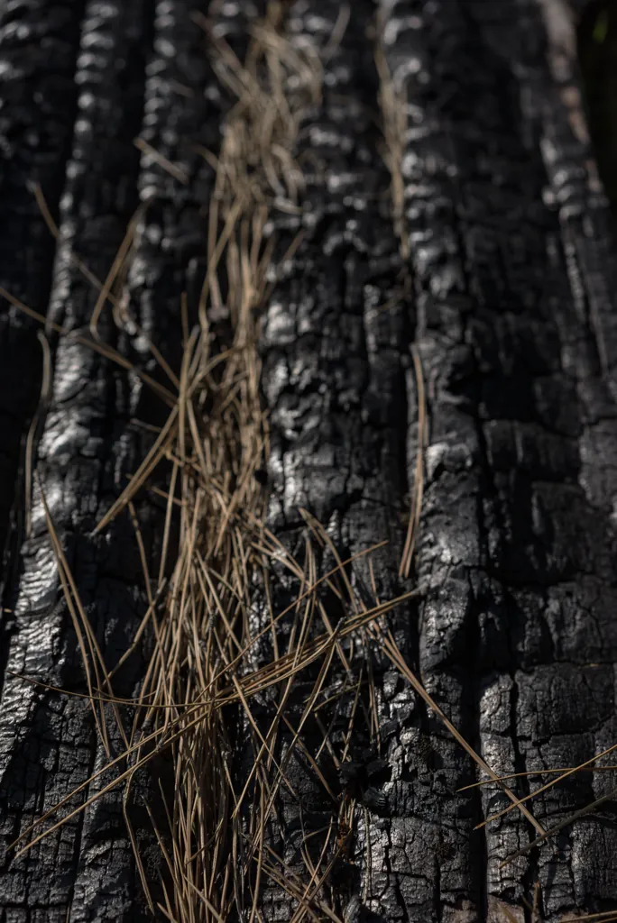
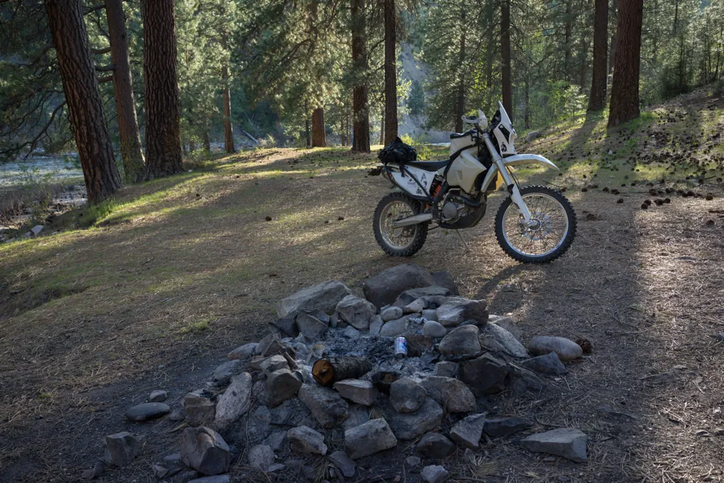
Instead of continuing to the river as usual, I turn up Rattlesnake Creek Road. I’ve never gone this way. After several speedy miles along the creek, I find an unimproved campground and stop for a little me-time.
Sony α7ʀ
Sony FE 35mm ƒ2.8
ISO 100grain
2 secondshutter_speed
ƒ10camera
-0.3 compensationiso
Adobe Photoshop Lightroom 5.7
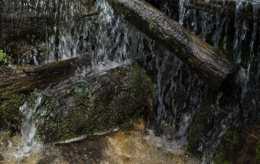
Rattlesnake moss
Sony α7ʀ
Sony FE 35mm ƒ2.8
ISO 64grain
1⁄30 secondshutter_speed
ƒ3.5camera
Adobe Photoshop Lightroom 5.7
Me and the tree
Sony α7ʀ
Sony FE 35mm ƒ2.8
ISO 100grain
1⁄2 secondshutter_speed
ƒ10camera
-0.3 compensationiso
Adobe Photoshop Lightroom 5.7
Methadone
Sony α7ʀ
Sony FE 35mm ƒ2.8
ISO 100grain
1.6 secondshutter_speed
ƒ10camera
-0.3 compensationiso
Adobe Photoshop Lightroom 5.7
No whip
Sony α7ʀ
Sony FE 55mm ƒ1.8
ISO 100grain
1⁄800 secondshutter_speed
ƒ4camera
-0.3 compensationiso
Adobe Photoshop Lightroom 5.7
Tri-tip
Sony α7ʀ
Zuiko AUTO-T 135mm
ISO 100grain
1⁄3 secondshutter_speed
ƒ11camera
-0.3 compensationiso
Adobe Photoshop Lightroom 5.7
Too late now
Sony α7ʀ
Sony FE 55mm ƒ1.8
ISO 100grain
1⁄400 secondshutter_speed
ƒ5camera
Adobe Photoshop Lightroom 5.7
Devil Creek trailhead
Although my decision to turn up Rattlesnake Creek felt arbitrary, it turns out this is exactly where I would have come out if I’d been able to cut across Bear Gulch from Lava Mountain. Let’s see how far I can get coming at it the opposite way.
Sony α7ʀ
Sony FE 55mm ƒ1.8
ISO 100grain
1⁄640 secondshutter_speed
ƒ4camera
Adobe Photoshop Lightroom 5.7
Keep your hands and feet inside
Sony α7ʀ
Sony FE 35mm ƒ2.8
ISO 100grain
1⁄250 secondshutter_speed
ƒ4camera
Adobe Photoshop Lightroom 5.7
Do the limbo
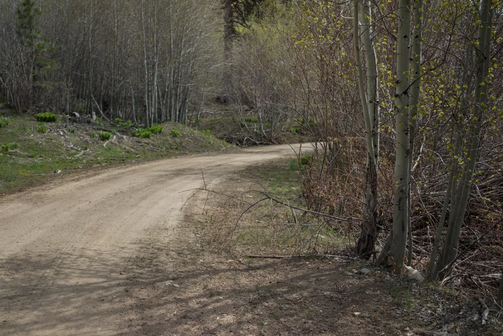
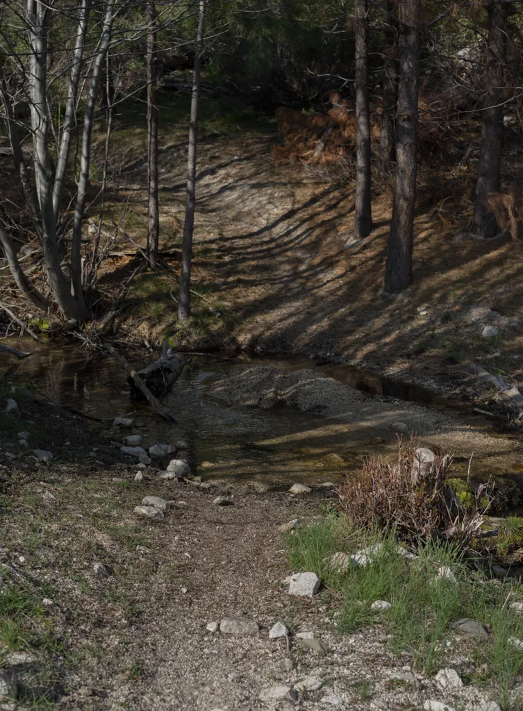
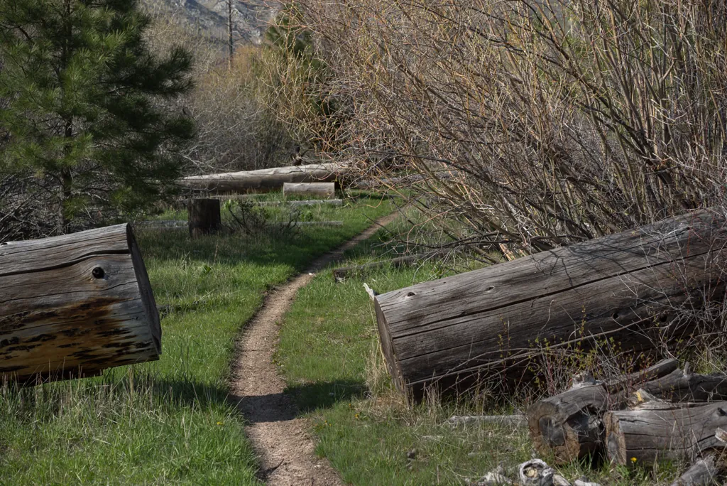
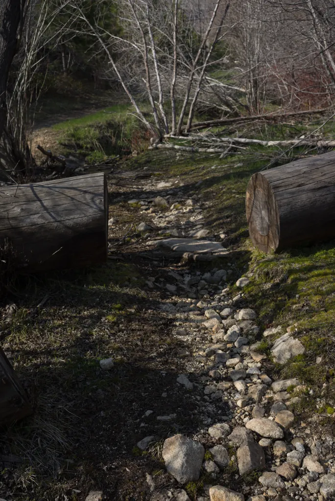
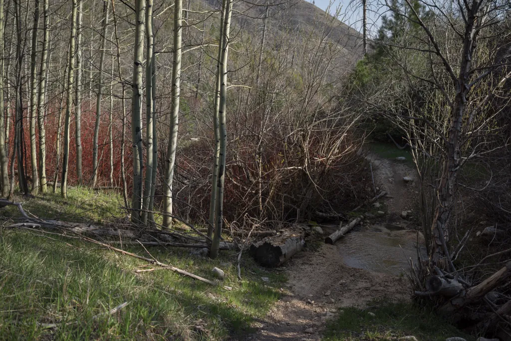
Devil’s Creek trail is idyllic and tree-free for the first mile or so. Unlike the Lava Mountain trail, there are fresh motorcycle tracks here. I have to squeeze under one big fallen tree but the continuing tracks give me hope.
Sony α7ʀ
Sony FE 35mm ƒ2.8
ISO 100grain
1⁄200 secondshutter_speed
ƒ6.3camera
Adobe Photoshop Lightroom 5.7
Sony α7ʀ
Sony FE 35mm ƒ2.8
ISO 100grain
1⁄640 secondshutter_speed
ƒ6.3camera
-0.7 compensationiso
Adobe Photoshop Lightroom 5.7
Six remain
Sony α7ʀ
Sony FE 35mm ƒ2.8
ISO 100grain
1⁄400 secondshutter_speed
ƒ6.3camera
-0.7 compensationiso
Adobe Photoshop Lightroom 5.7
The fallen
Sony α7ʀ
Sony FE 35mm ƒ2.8
ISO 100grain
1⁄320 secondshutter_speed
ƒ4camera
Adobe Photoshop Lightroom 5.7
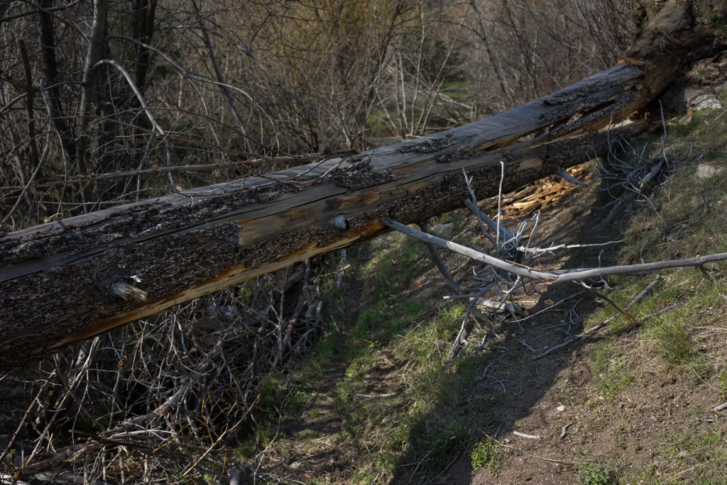
I am able to ride a few miles more up the mountain. I follow tracks on a steep hill around another tree and get hung up in some brush. I burn a lot of energy getting sorted and back on the trail so when I get to yet another tree across the trail, about three feet off the ground, I decide to call it a day. Scuffs in the dirt suggest the other riders actually drug their motorcycles under. I’d need my brothers or Michael along to help with that kind of work.
Sony α7ʀ
Sony FE 35mm ƒ2.8
ISO 100grain
1⁄400 secondshutter_speed
ƒ2.8camera
Adobe Photoshop Lightroom 5.7
Glowing greens
Sony α7ʀ
Sony FE 35mm ƒ2.8
ISO 80grain
1⁄250 secondshutter_speed
ƒ6.3camera
-1.3 compensationiso
Adobe Photoshop Lightroom 5.7
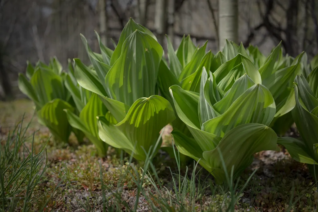
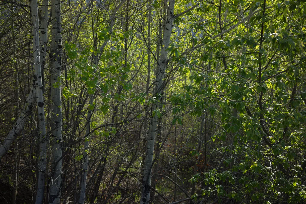
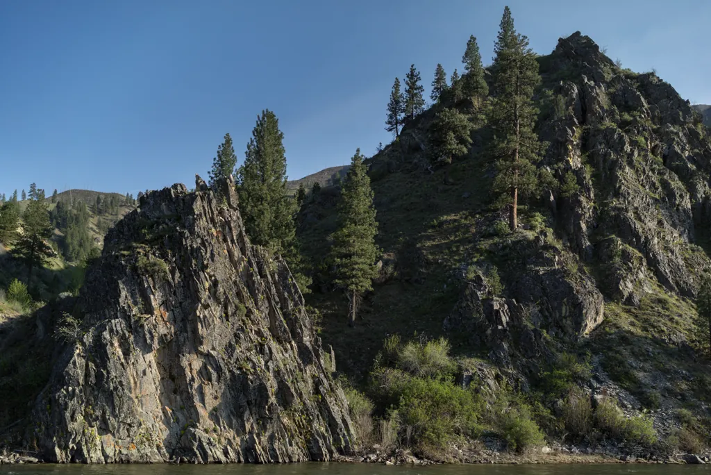
Young leaves become luminous in the low sun as I ride quickly back down the trail then on toward the river and reservoirs. I pop open my helmet visor to take in the smell of pine and water. It’s a beautiful time of day and year to be speeding through these natural places.
Sony α7ʀ
Sony FE 35mm ƒ2.8
ISO 100grain
1⁄160 secondshutter_speed
ƒ6.3camera
Adobe Photoshop Lightroom 5.7
Sony α7ʀ
Sony FE 35mm ƒ2.8
ISO 200grain
1⁄60 secondshutter_speed
ƒ6.3camera
Adobe Photoshop Lightroom 5.7
Hidden campsite
I wondered when Brenna I were camping¹ if there was a way to ride into a campsite we found. There sort of is.
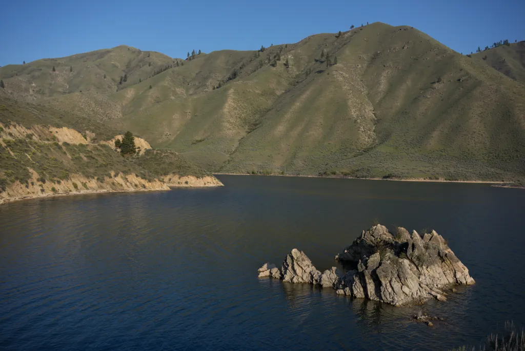
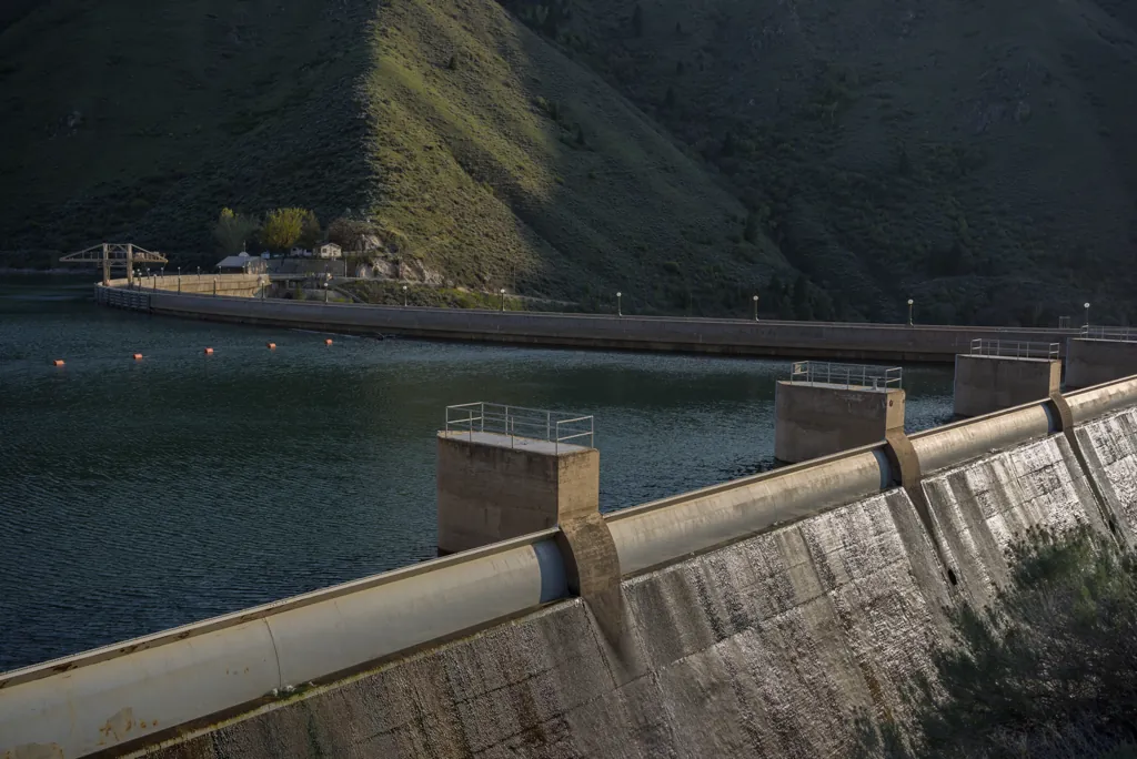
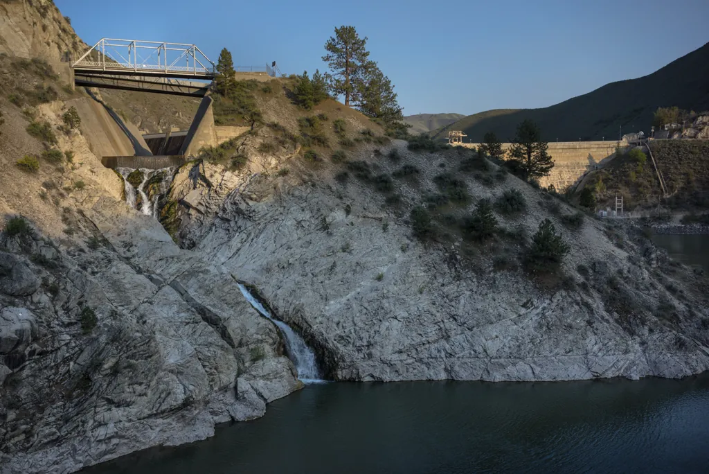
Even on a motorcycle, the road around Arrowrock Reservoir, with its washboards and tight curves, is slow-going. I’m glad to reach the dam knowing pavement is a mile ahead.
Sony α7ʀ
Sony FE 35mm ƒ2.8
ISO 100grain
1⁄250 secondshutter_speed
ƒ6.3camera
-0.3 compensationiso
Adobe Photoshop Lightroom 5.7
Sony α7ʀ
Sony FE 35mm ƒ2.8
ISO 100grain
1⁄250 secondshutter_speed
ƒ6.3camera
-1.3 compensationiso
Adobe Photoshop Lightroom 5.7
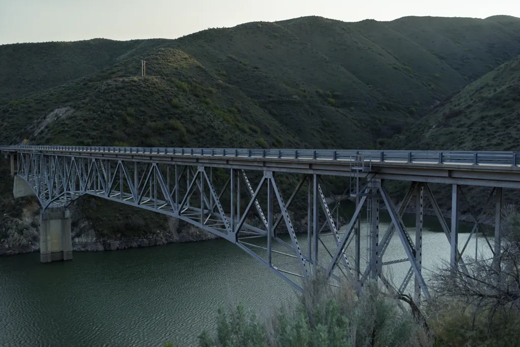
I pretend I’m back on the GS and slide off the seat into the corners around Lucky Peak Reservoir as guard rails and sage brush flash by. I pause a moment before turning onto the highway at the bridge and notice there an unlabeled cross fashioned of purple trimmed, teal skis. I remember the thing that such rides always bring to mind: it is a joy to be here.