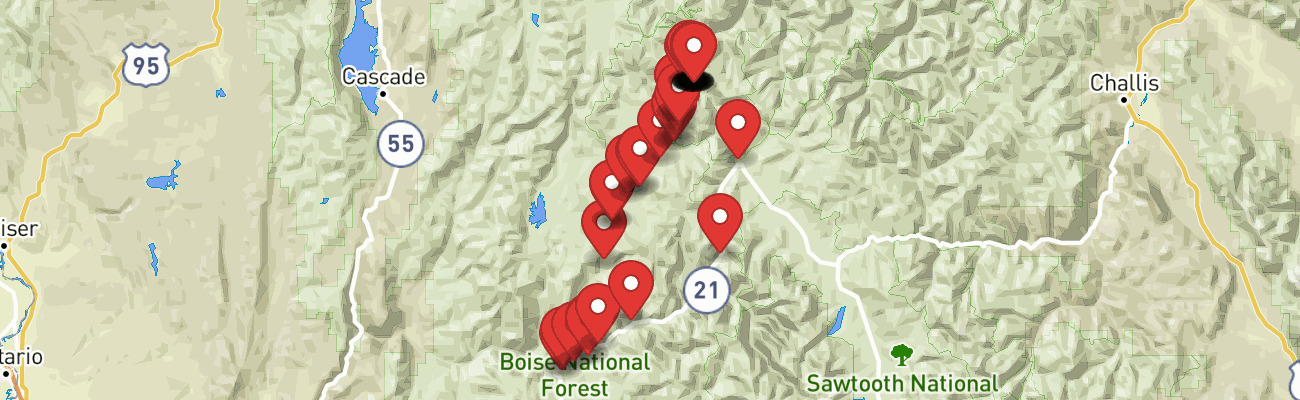
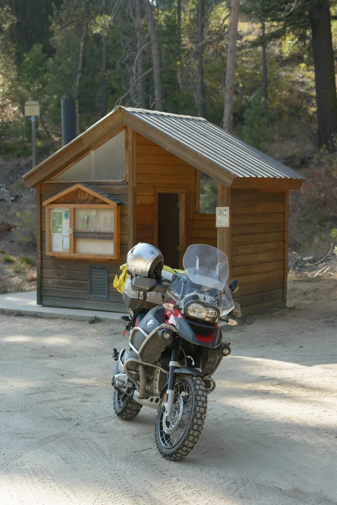
Cold nights and accumulating leaves herald the end of the 2012 riding season. I sent some last minute texts and posted in a couple places looking for a riding buddy but ended up leaving for a night at Seafoam Lake¹ on my own.
Leaning into consecutive highway corners along crystal clear Mores Creek, hard left, hard right, flying in the crisp air by glittering gold leaves is a beautiful thing. I stopped a moment at the Sinclair station in Idaho City to clean a succulent bug from my face shield and eat half my similarly constituted, also partially squished, PBJ, before continuing on.
An underway Highway 21 resurfacing project² has strewn sand and gravel around numerous trench drains dug across twenty miles of the tightly twisting road to Lowman. Normally a fun affair, I was glad to leave the highway to cut across Banner Ridge on Little Beaver and Archie Creek dirt roads.
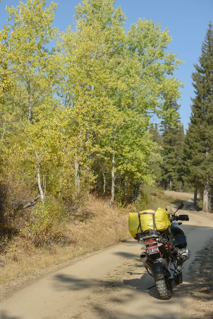
The newly announced KTM¹ and BMW² adventure bikes should be thrilling but “Old Red” was clicking its heels, sliding and spinning merrily across sandy ridge roads festooned with yellow aspens and sienna shrubs. I couldn’t think of a reason to want anything different.
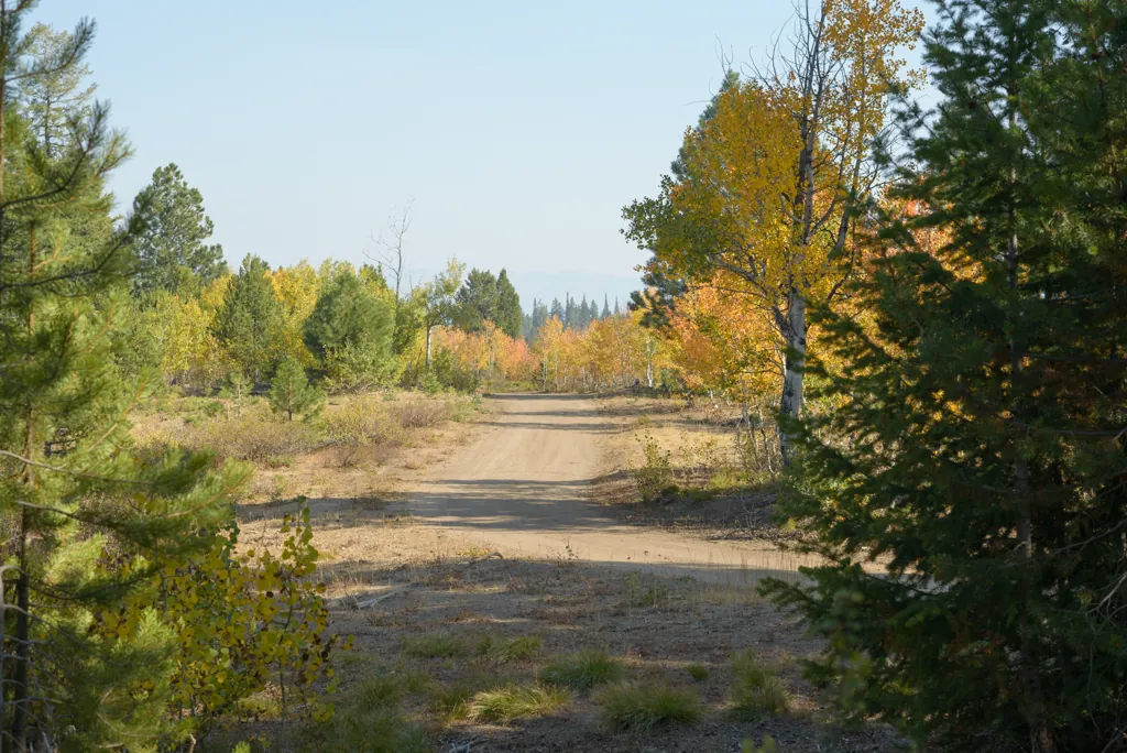
Several signs along the ridge pointed to nordic routes comprising some of the 180 miles of Idaho “Park N’ Ski” trails.¹ While prepped for an influx of winter recreationists, a raptor and scampering chipmunks were the only creatures I saw on the ridge this bright autumn day.
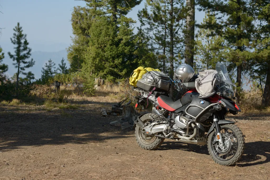
I stopped alongside the road at a hilltop campsite to adjust straps and noticed the northern horizon, my destination, lost in smoke. It had been fairly clear in Boise for some weeks and I hadn’t thought much about wildfires. I could only hope the air would be okay at Seafoam Lake.
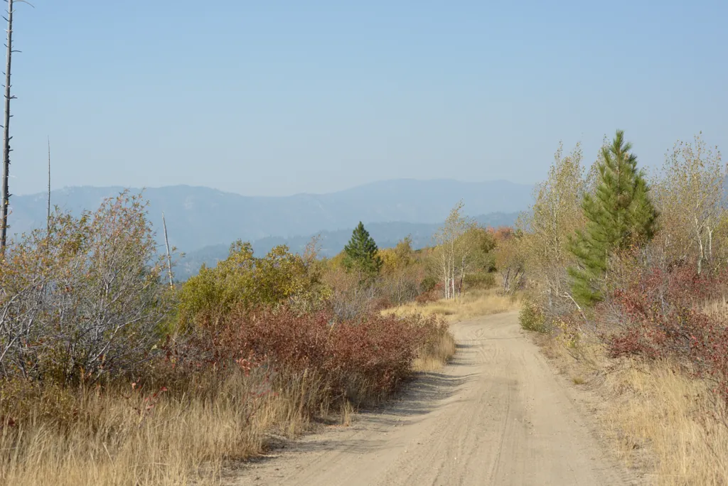
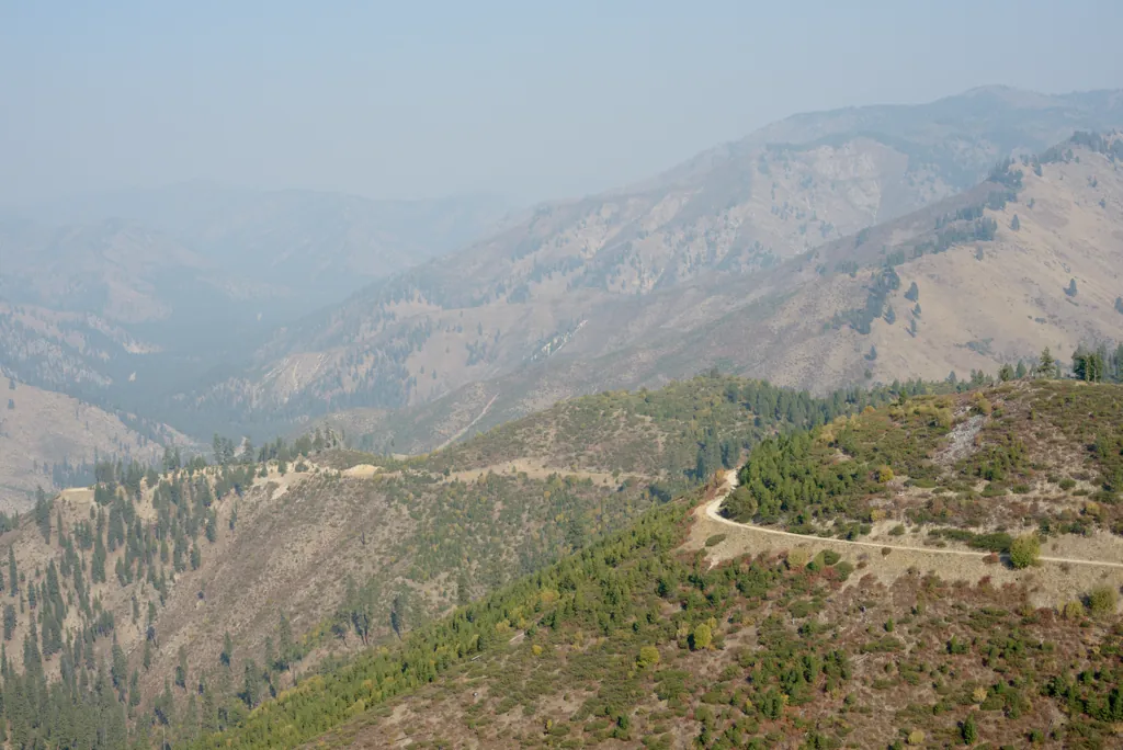
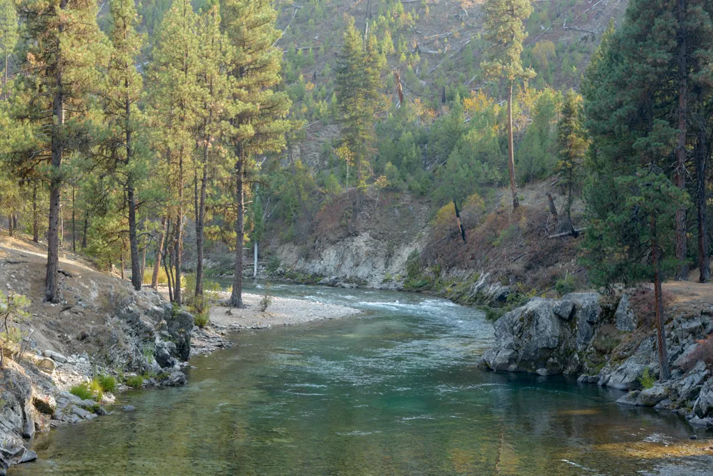
Archie Creek Road descends from the ridge past a few homes to the Middle Fork of the Payette and Highway 21. I offered a big wave to some folks relaxing on their second-story deck between tall conifers above the road. The last several miles were slow going switchbacks and I was ready to make up some time on the highway after pausing to enjoy a serene view of the river reflecting autumn colors between stoney banks.
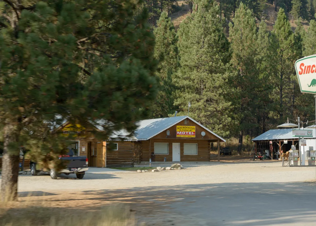
I snapped an homage of the Sourdough¹ as I passed by, where I found refuge, a warm meal and hospitality one cold night last year.²
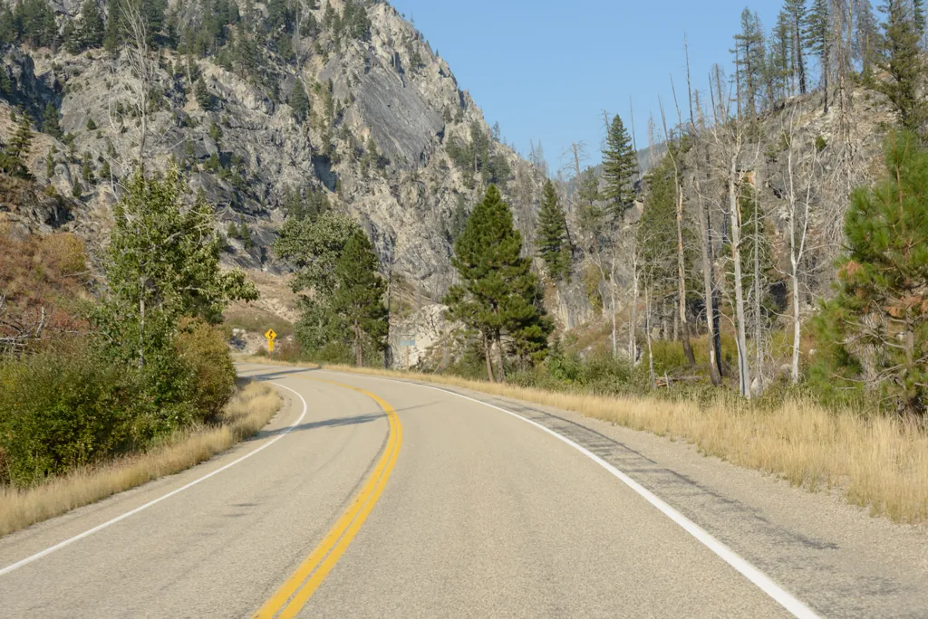
Glimpses of the rugged Sawtooth Mountains framed by passing pine boughs made me eager to be among their ilk around Seafoam Lake. The sky was blue above, smoke apparently limited to the Lowman area behind me. Many highway miles and only a couple cars let me run an enjoyable speed. I figured I’d be there soon.
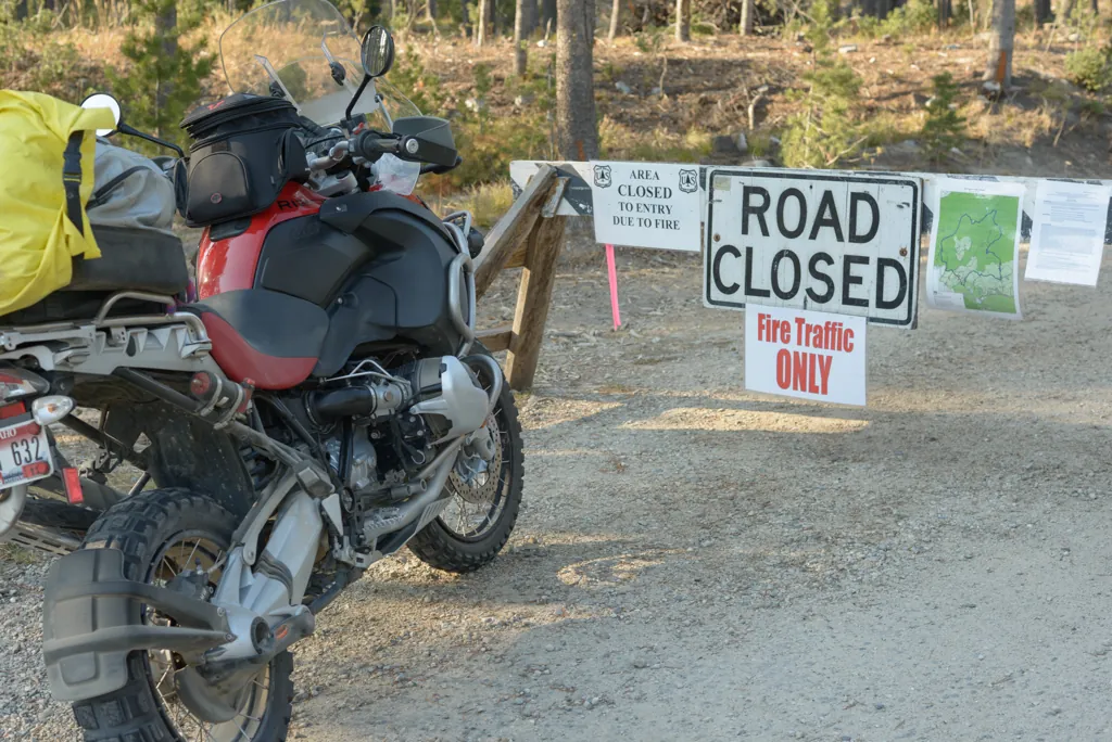
Finally the GPS said to make a left onto gravel which I did only to be greeted by a barricade. Darn. Although skies were clear, the road to Seafoam Lake remained closed for the Halstead fire.¹ I thought of continuing toward Stanley but decided I wanted a shorter ride home. I had just passed the turn to Bear Valley and Deadwood Reservoir where I knew I could find respectable camping. So I turned back.
Pickups pulled to the side of Bear Valley Road were centers of family activity, a dad cutting logs and the others loading them in the truck. It’s firewood season. I waved to one group then another and another.
A distance given to “Dagger Falls” drew my interest. I hadn’t heard of it, and even though “falls” might describes any bit of ebullient water, it sounded more adventuresome than a readily accessed reservoir. So when Dagger Falls Road appeared, I took it.
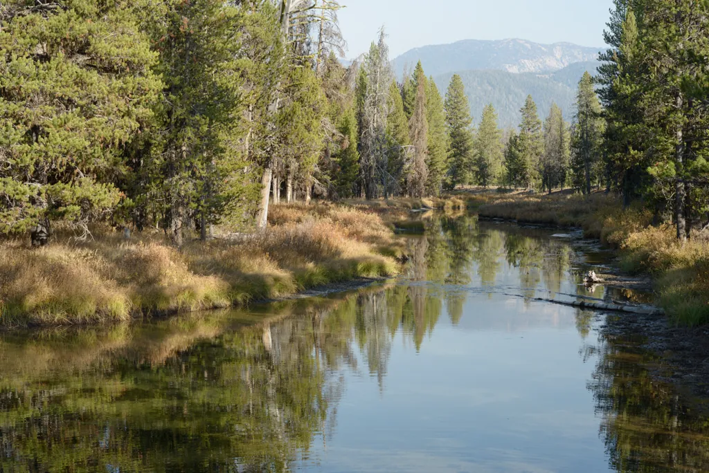
Late afternoon sun spread golden light across the expansive Bruce Meadows. I stopped a moment on the small bridge over Bear Valley Creek, headwaters of the Salmon River, to look a moment at the clear, quiescent water, blue-green ripples between tall yellow grasses.
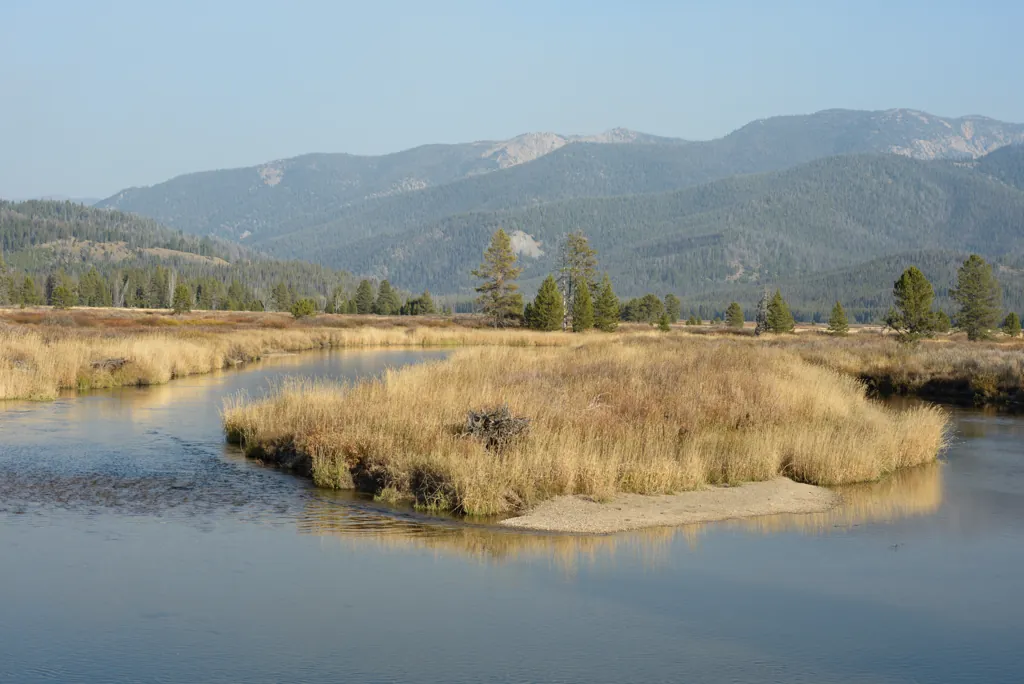
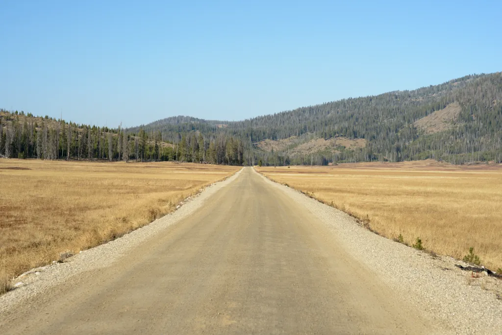
I soon realized Dagger Falls must be more than a bit of turbulent water to account for such a well maintained road — wide, oiled, and even paved for a stretch. I was back to highway speeds!
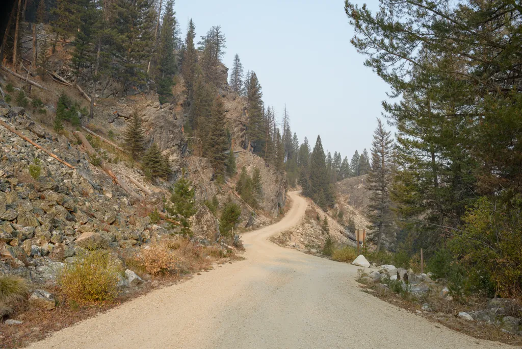
Dagger Falls Campground, bordering the Frank Church River of No Return Wilderness¹ (that’s a mouthful) and nestled among outcrops of lichenous grey stone, was a welcome (and vacant) surprise. Several well groomed campsites lay between trees, well stocked with firewood, above roiling water below.
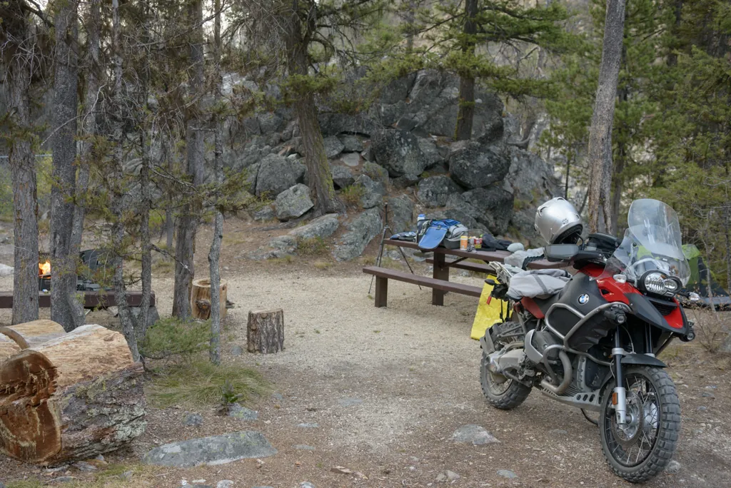
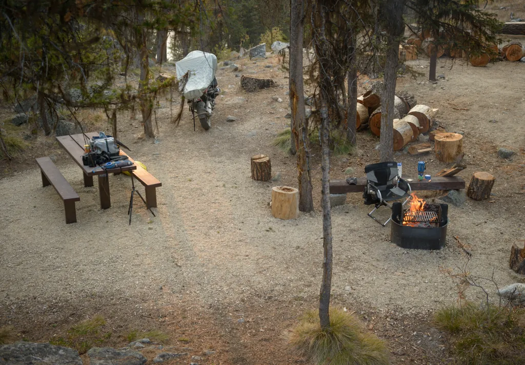
I circled through the eight sites separated into an upper and lower area before settling on one above the water and away from the road. It seemed ideal.
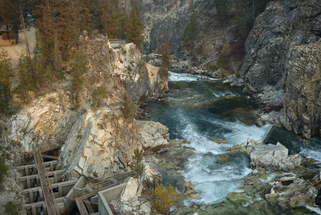
I was eager to explore but knowing the time of year, that it would be cold tonight, I put the tent up and got some fire going first. Then I surveyed the well known, if not to me, falls and fishway below.
The Middle Fork of the Salmon forms where Bear Valley Creek and Marsh Creek converge and these two streams provide the healthiest most pristine and intact spawning habitat for wild Chinook Salmon in the contiguous U.S. Dagger Falls is the final upward leap for salmon¹ on their way back to their spawning grounds in Bear Valley and Marsh Creek.²
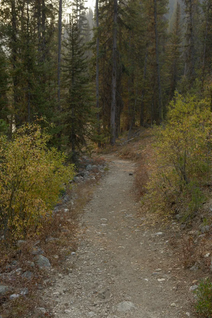
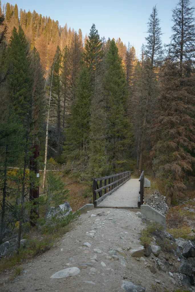
Looking to access the water, I followed a short path and was surprised to find a fancy bridge across. Neat!
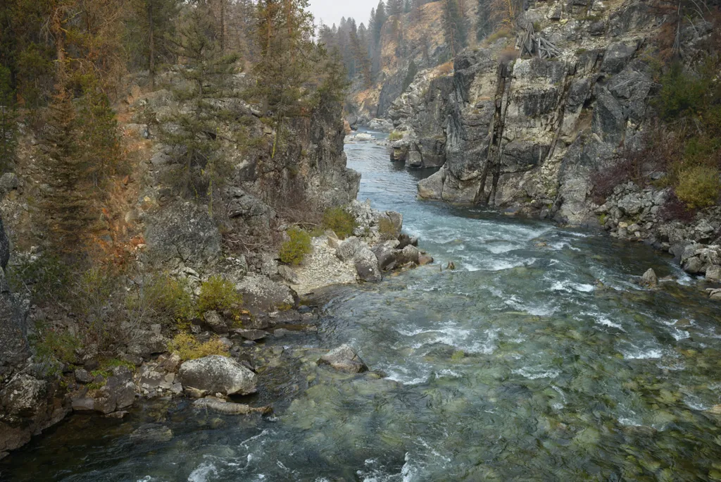
Discovered August 12, 1805, by Meriwether Lewis, the Salmon River mountains forced the celebrated Lewis and Clark expedition to detour far to the north. Clark went out to inspect the river itself as a possible boat route to the Columbia. Before he got very far into the canyon below the North Fork, he encountered rapids that could be passed only with ‘immense’ delay. Moreover, his Indian guides assured him he had seen nothing yet. Clark had good reason to be discouraged; ‘those rapids which I had seen,’ he said, ‘was small and trifling in comparison to the rocks and rapids below, at no great distance and the hills or mountains were not like those I had seen but like the side of a tree straight up.’ Clark was told that the Salmon River mountains close into a cliff-encompassed gorge …’ At that point Clark turned back.¹
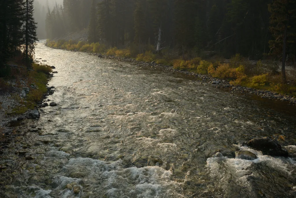
The Middle Fork of the Salmon was made a charter member of the National Wild and Scenic Rivers System in 1968,¹ just a few years before I was born.
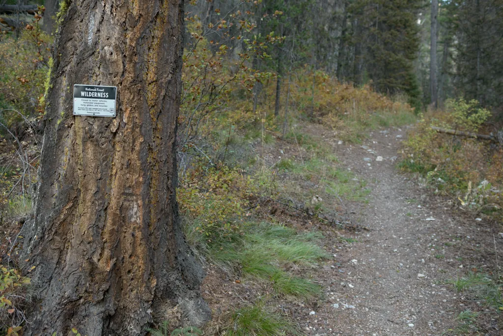
The trail beyond the bridge, into National Forest Wilderness, was intriguing but more than I had time to explore.
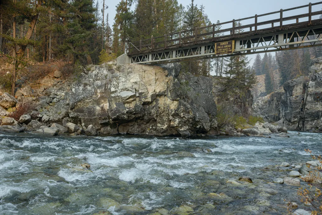

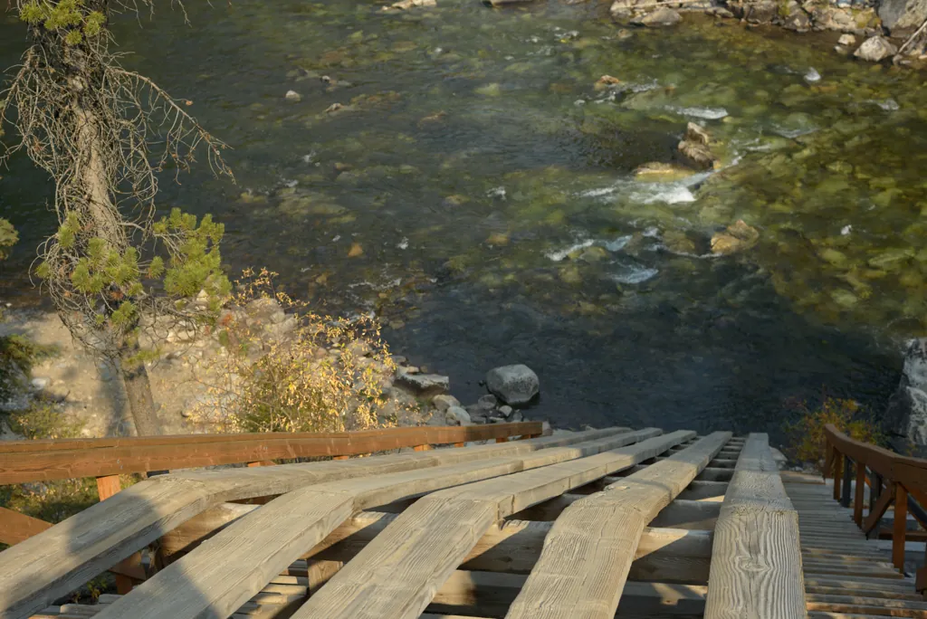
There was no easy way to the falls along the river from the bridge so I circled back through the campground to a purpose-built viewing platform for a better perspective on the Class V staircase.
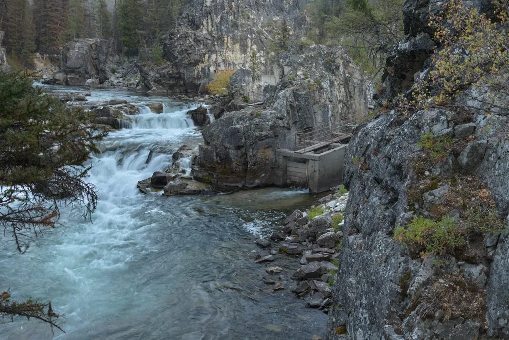
I wanted to get to the water’s edge by the falls but couldn’t find a safe route from this direction either.
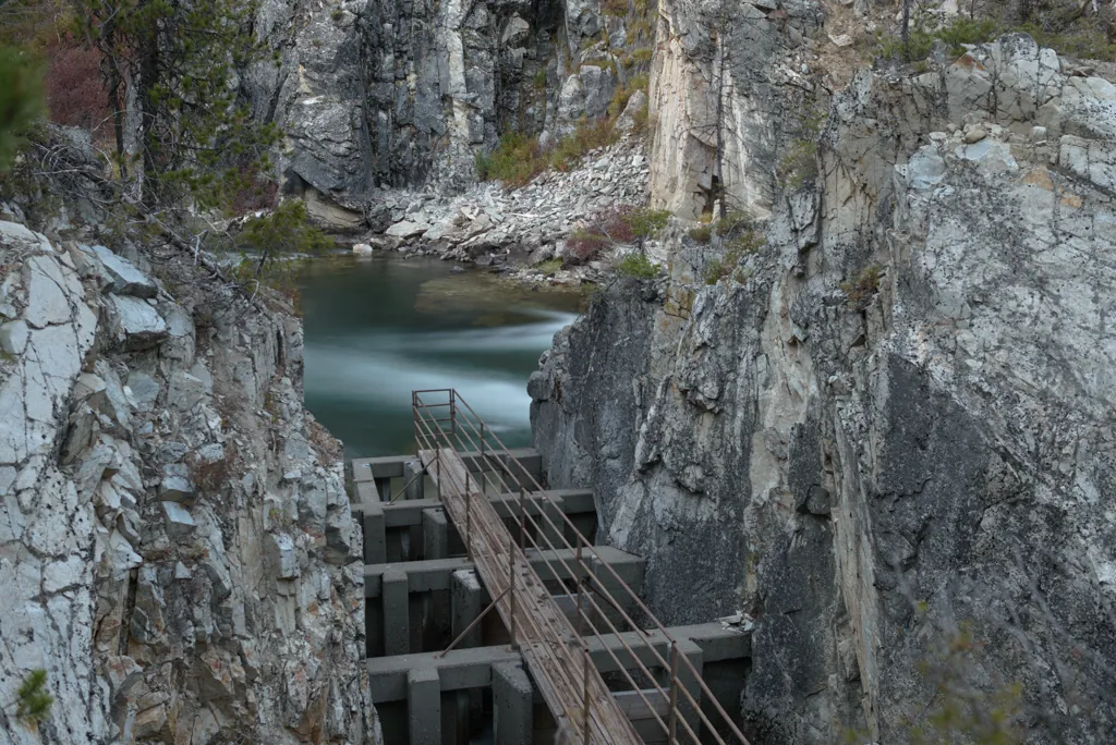
To get near the falls I decided to climb some rocks to get around the fishway fence.
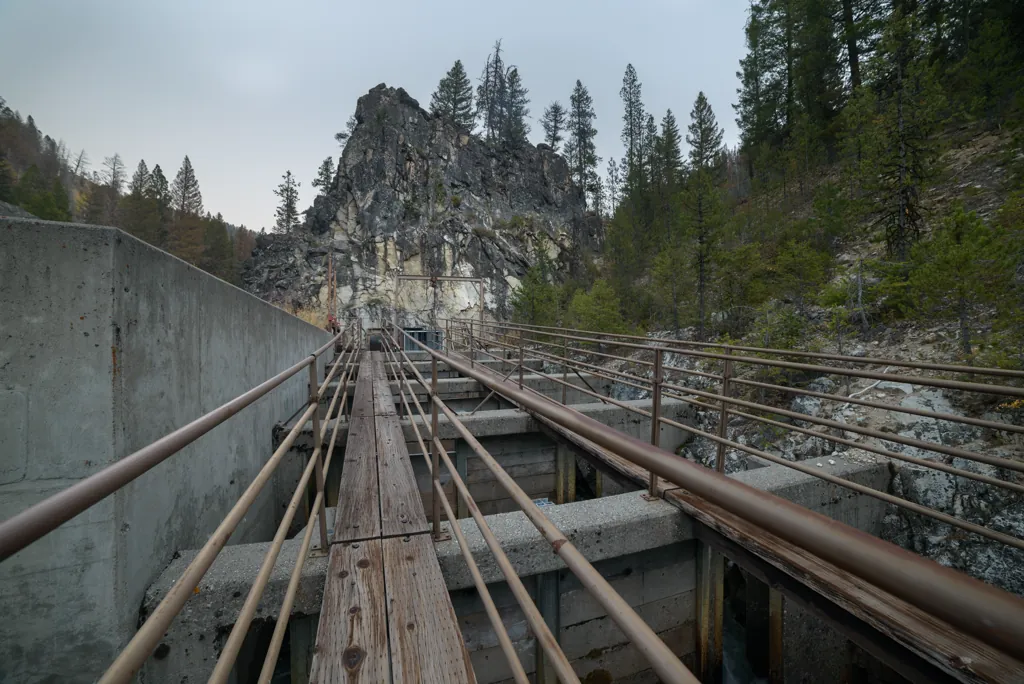
The fishway at remote Dagger Falls, then ten miles from the nearest road, was conceived in 1958 as a means of ameliorating the effect of Columbia River system dams on migrating salmon.
Little has been said about natural obstructions in vital stream-beds and what – if anything – can or should be done about them. This is the story of such a fall in Idaho and what is scheduled to be done. A ladder is to be built for the accommodation of fish such as salmon ascending rivers from the sea to inland wilderness area spawning grounds, and this is a radical departure from usual conservationists’ devices for the convenience of migrating fish which generally are around man-made obstacles.¹
The Dagger Falls fishway was completed in 1962 for $122,612 with an access road costing $50,627² making “a total of 20 major fishways constructed since the Columbia River Fishery Development Program began in 1948,”³ including one on the Selway River in North Idaho.
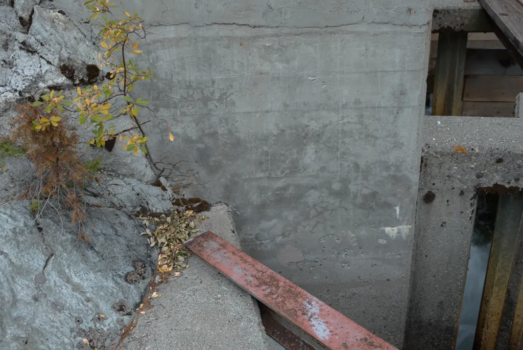
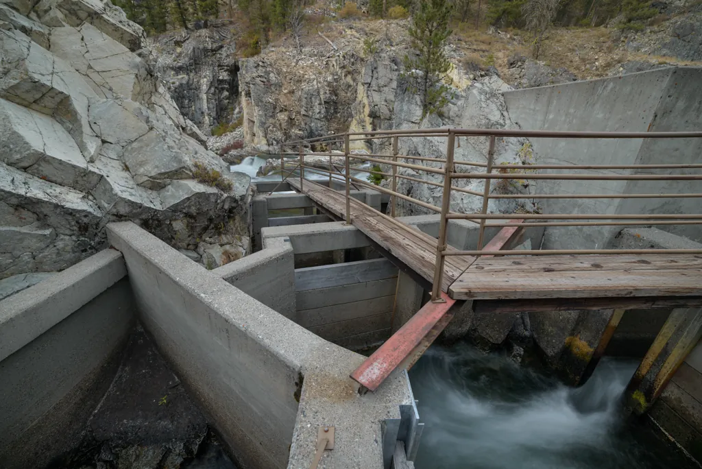
It was interesting to wander alone around the fifty-year-old engineering, angles and ideas.
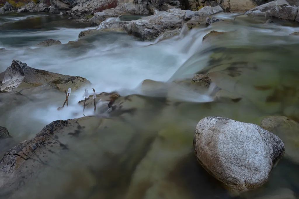
I decided it must be getting cold.
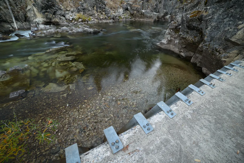
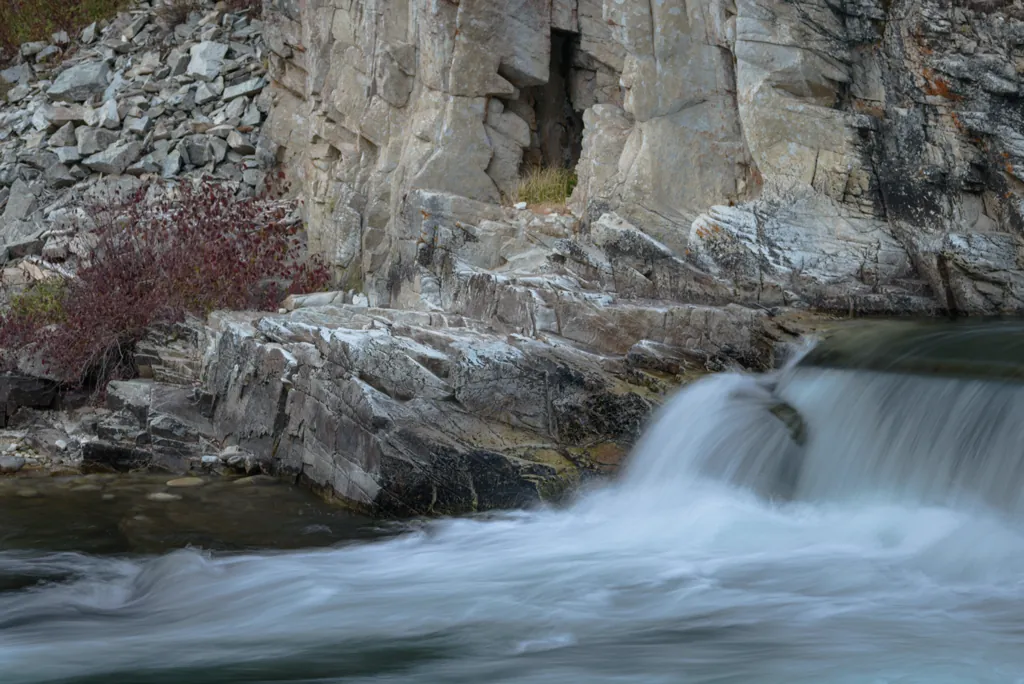
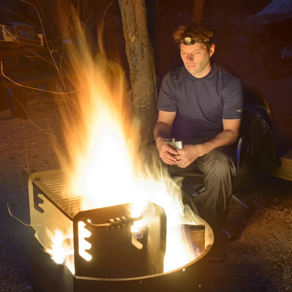
At his wedding, my brother Joel gave us, his three brothers, flasks with our recently conceived radio call signs engraved on them. Mine says “Pig Pen” since I ride a pig and trail dust behind (Peanuts reference¹ if you missed it). I enjoyed a few nips by the fire while dinner heated up.
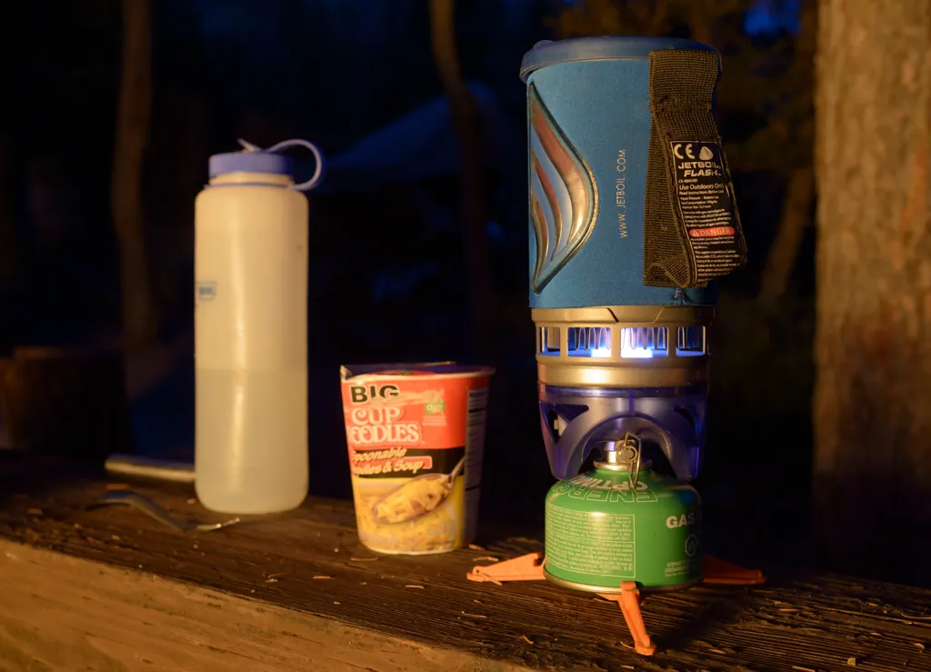
A hiss more subtle than usual sent me digging for the spare gas canister only to come up empty. Darn. I had it in my hand in the garage and I suppose the garage is where it’s still sitting. Luckily, cheap noodles that have bounced around in my motorcycle bag much of the year don’t require exacting preparation.
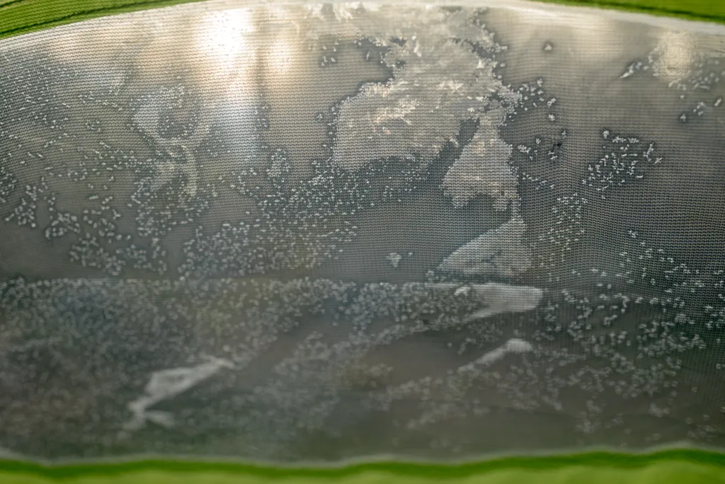
It is usually the sound of animals scratching around outside (more often imagined than real) that wakes me up in the tent. But even though twenty wolves were released on that very spot in 1996,¹ I didn’t hear them or anything else.
It was not what I heard but what I felt that woke me up. I traded a 20°F bag for zero so I wouldn’t have to suffer again² but that night was setting an October 6 record low of 7°F.³ I was chilled. To make it better, I realized I’d need to step outside to answer Nature’s call.
So began the sequence of events which led to learning that butane lighters don’t work at those temperatures. Ha! Crouching alone in the dark, feeling the cold seep into my skin, fumbling with twigs and inoperative lighters was … well, amusing. I almost laughed out loud.
I decided to sacrifice some hope of coffee and a hot breakfast to start a fire with the bit of remaining cook stove gas. I stood a long while by that fire there in the mountains in the middle of the night, sure to get my gas’s worth, before returning to my tent this time to sleep in motorcycle suit liners.
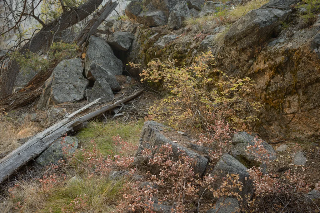
Before returning to the tent I stacked bark on my midnight fire in hopes of having coals in the morning. It worked. While that rebuilt fire grew, I warmed my muscles hiking up the other side of the river.
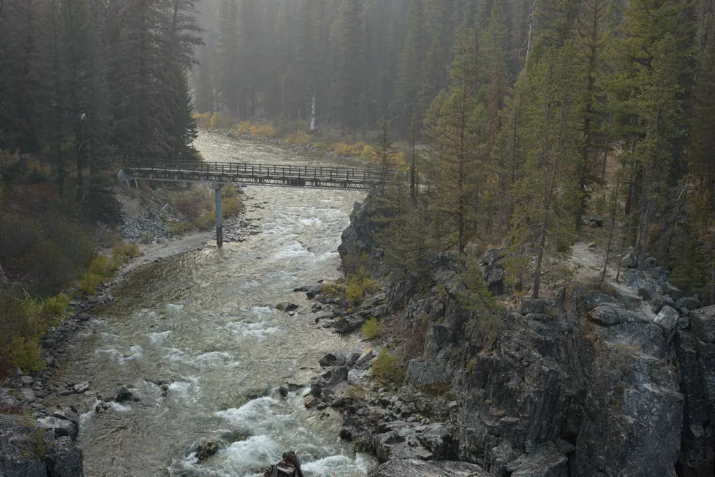
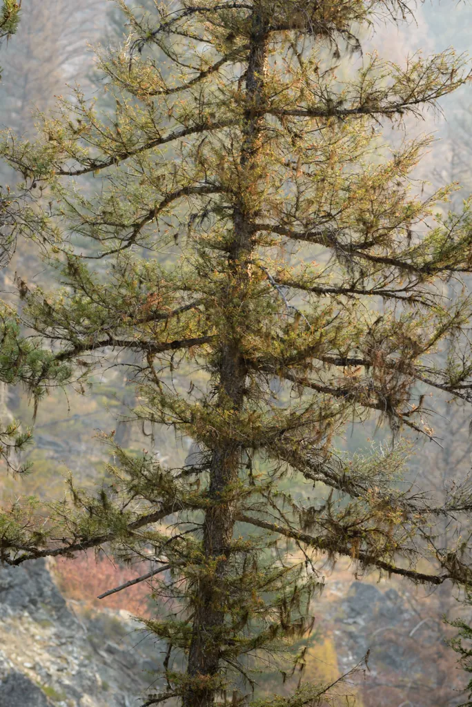
Yesterday skies were clear here. Today, thick smoke rolled over the hills from the area I’d originally planned to camp.
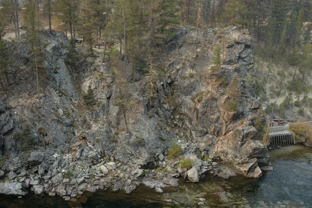
I like white noise so I'd placed my tent (green thing) as near to the water as I could.
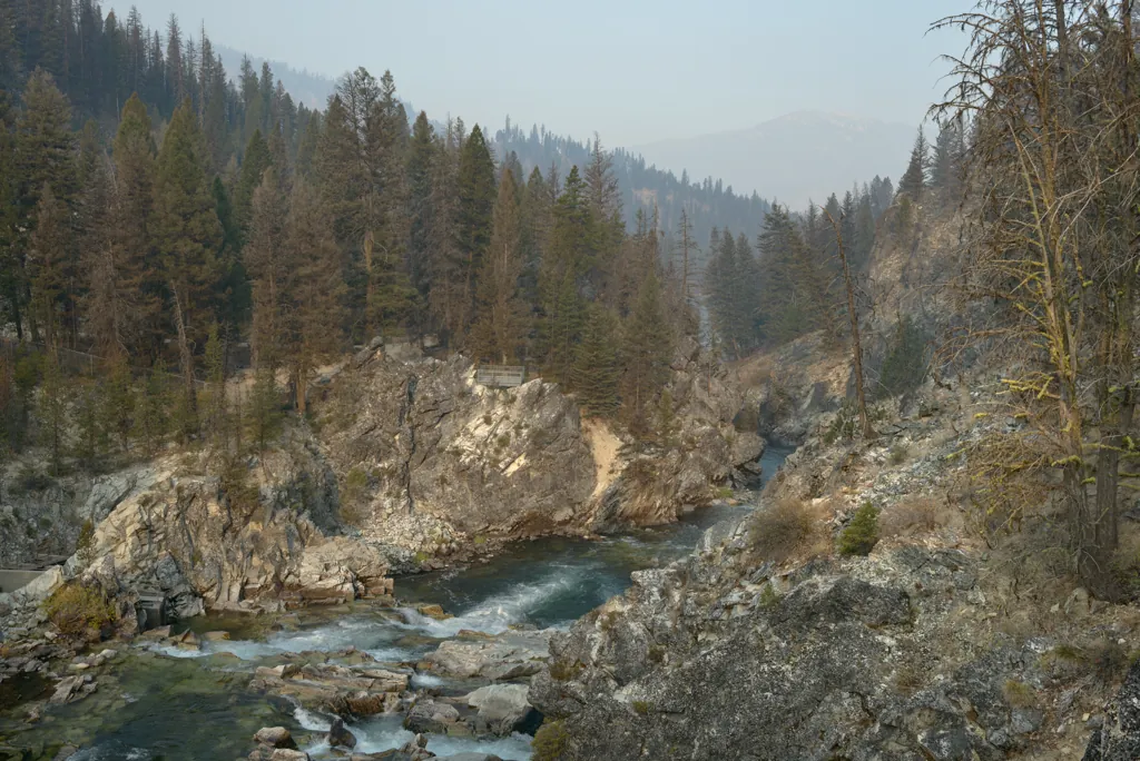
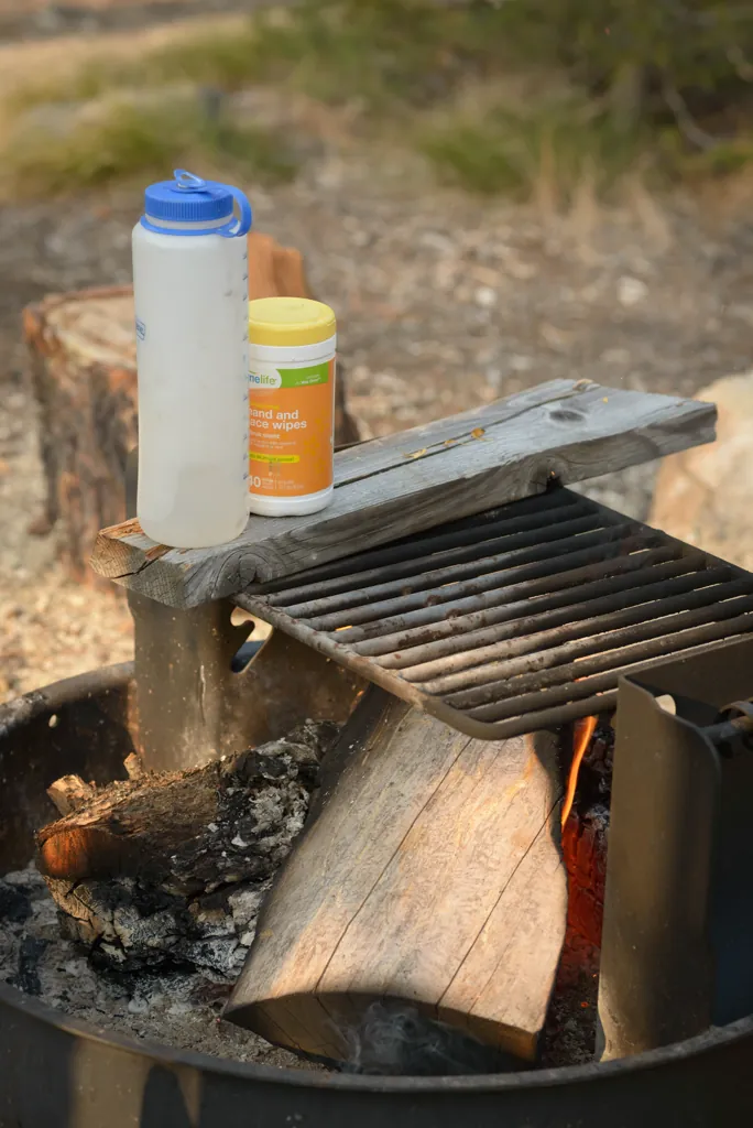
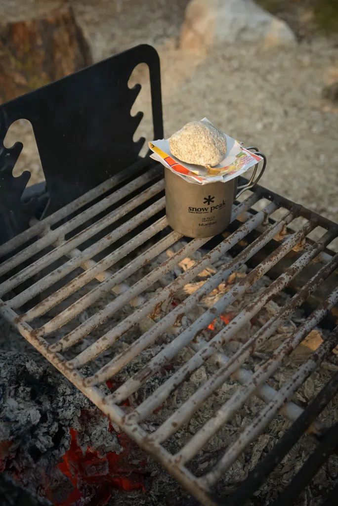
I wasn’t surprised to run out of cook stove gas. This Plan B sort of worked. Good thing I’m trying to lose weight.
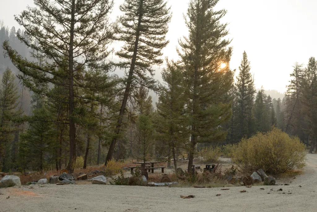
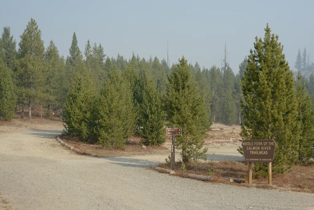
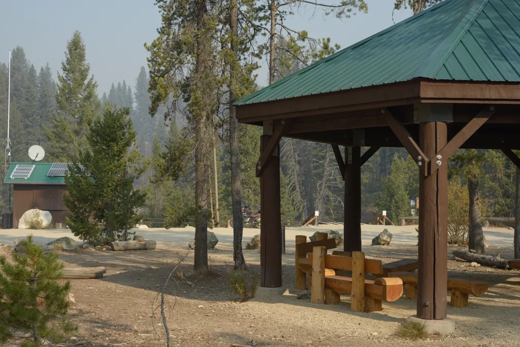
Before leaving the area I wanted to see the nearby Boundary Creek trailhead, campground and raft put-in¹ mentioned on signs. There was capacity for a lot of visitors.
“A trip down the Middle Fork Salmon – narrower, steeper, and more technically demanding than the Main Salmon – is one of the finest wilderness floats in the country.”¹
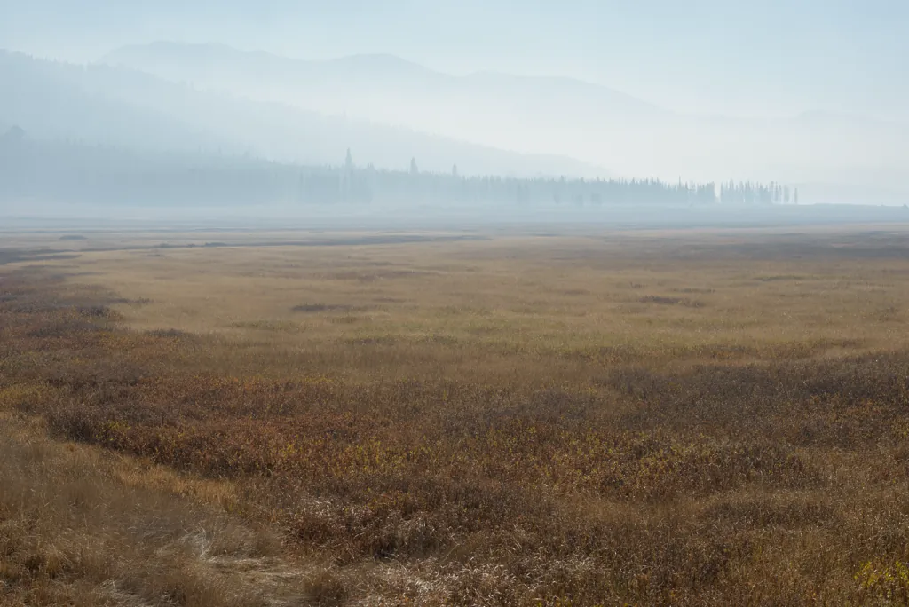
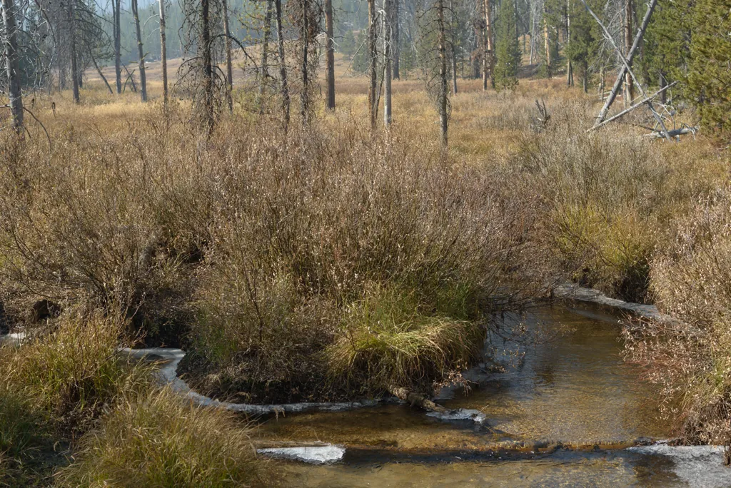
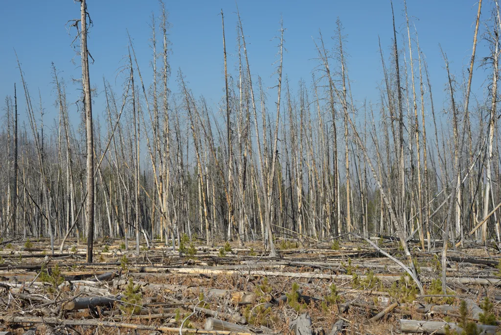
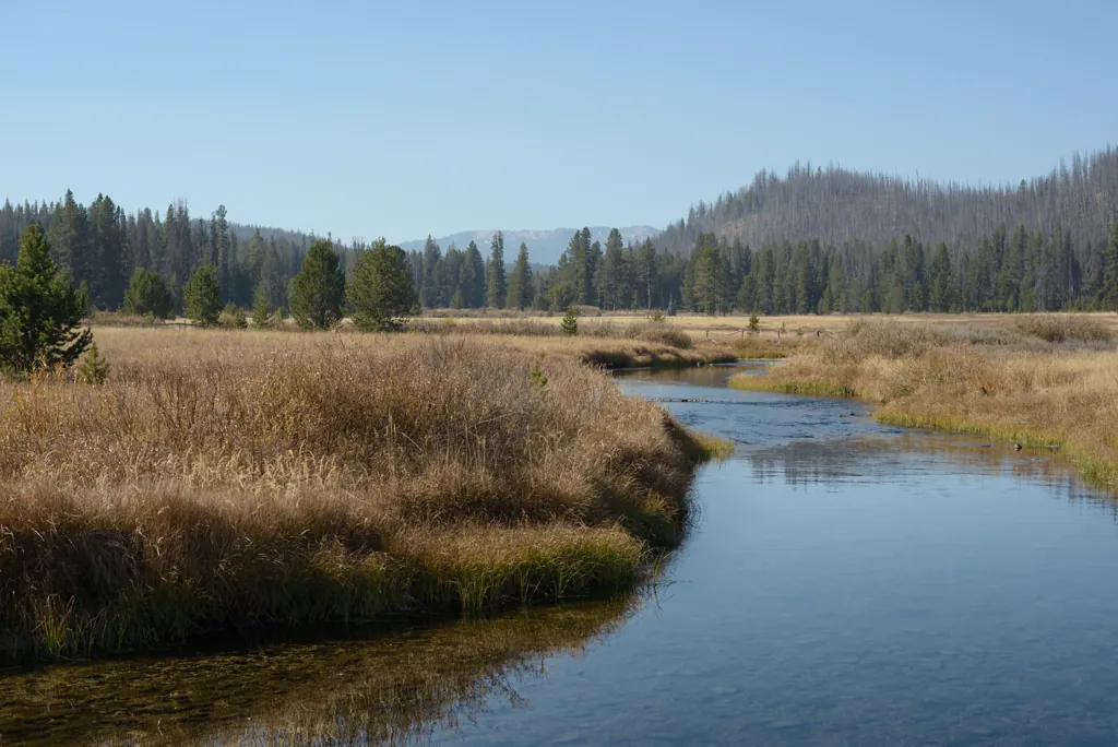
Few fur and gold resources coupled with inhospitable natives allowed this area to remain relatively undisturbed. “Discovered September 26, 1824 by a detached party of Hudson’s Bay Company beaver hunters from Alexander Ross’ Snake brigade, this area attracted very little notice from fur traders.”¹ And Northern Shoshoni (the “Tukudeka” or Sheepeaters) “hostilities in nearby areas gave Idaho’s Salmon River mountains a dangerous reputation.”²
Similar valleys to the south, where gold was found, are now filled with masses of placer mine debris.
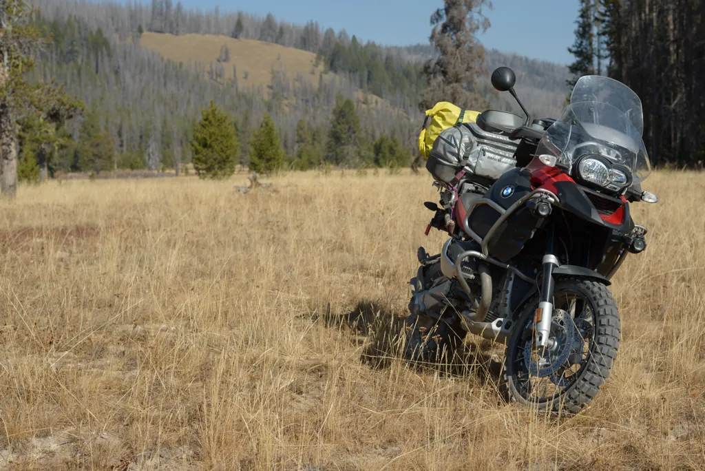
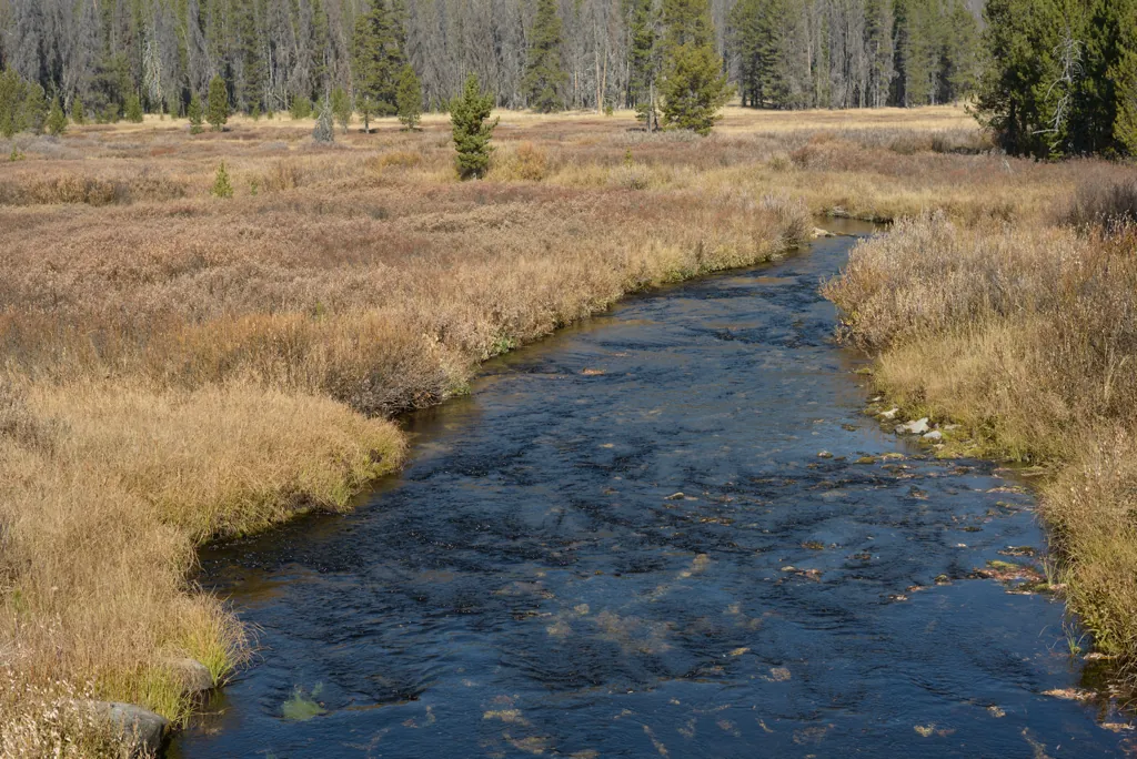
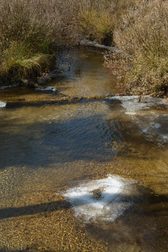
Some kind of black algae on the rocks in this creek made a curious contrast with the surrounding dry grasses.
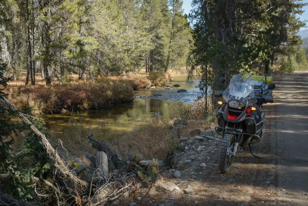
Long straightaways and gentle curves accommodated a brisk pace. Fifty miles-per-hour through close trees, by sparkling creeks and broad meadows, in the crisp morning air was enough to fix a Mona Lisa smile to my face for many miles.
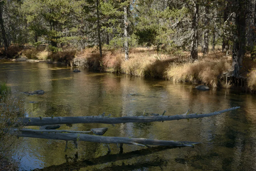
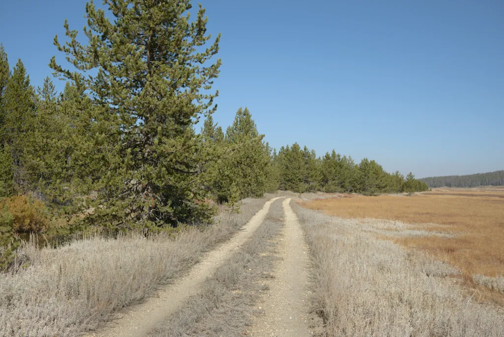
Not the right direction but I wanted to see where it went.
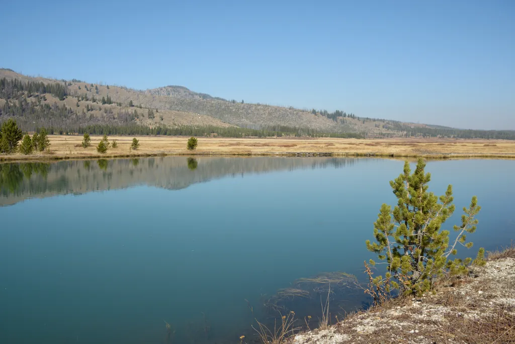
A large rectangular area of overturned earth, small pools and this pond at the end suggested some mining in the past.
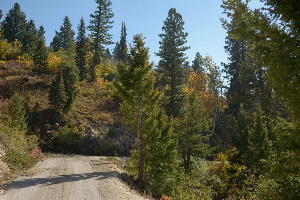
I followed Bear Valley to Lowman then took Highway 21 all the way home. This time the smoke was confined farther north so I could enjoy a quintessential Autumn ride past colored leaves under a bright blue sky.
by Jason Abbott